Mount Juliet night lights from space
Night Light of Mount Juliet (Tennessee) from space (United States) Src. Average luminocity for 10x10km area is 72.0087% and for 50x50km: 52.3419%.
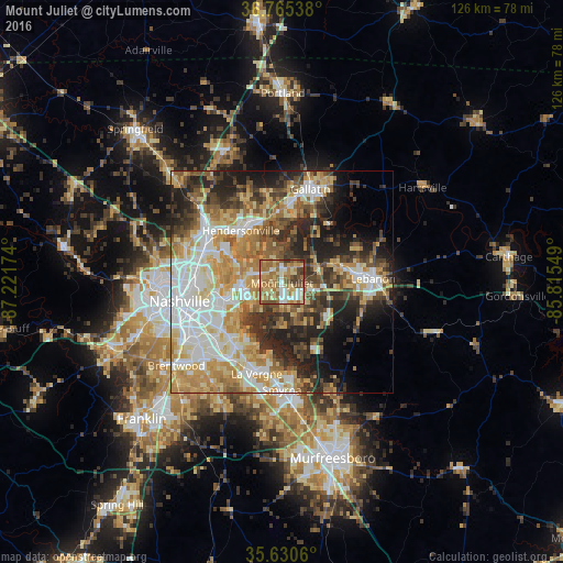
Analysis of Mount Juliet night lights 2016
Square area 10x10 km:
 8.04%
8.04%90-99
10.14%80-89
20.28%70-79
12.76%60-69
26.75%50-59
9.62%40-49
7.69%30-39
4.72%20-29
0%10-19
0%0-9
0%Square area 50x50 km:
10.52%90-99
10.1%80-89
8.84%70-79
9.13%60-69
8.03%50-59
6.09%40-49
6.06%30-39
7.31%20-29
10.14%10-19
8.79%0-9
14.99%Clear (daylight) street map image can be seen on geolist.org.
Map coordinates:
36° 45' 55.4" North, 87° 13' 18.3" West
36° 12' 0.2" North, 86° 31' 7" West
35° 37' 50.2" North, 85° 48' 55.8" West
Some cities around Mount Juliet sort by population:
• Nashville
24.2 km =15 mi,  260°
260°
• Hendersonville
14.8 km =9.2 mi,  322°
322°
• Smyrna
24.2 km =15 mi,  179°
179°
• La Vergne
21.3 km =13.2 mi,  195°
195°
• Gallatin
21.9 km =13.6 mi,  17°
17°
• Lebanon
20.4 km =12.7 mi,  87°
87°
• Goodlettsville
22.2 km =13.8 mi,  308°
308°
• Green Hill
3.8 km =2.4 mi, 312°
4643336 (p: 31,540)
Sources (retrieved 2019-11-25):
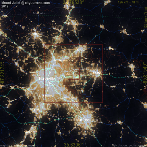
» Earth at Night: Flat Maps 2012, 2016