East Florence night lights from space
Night Light of East Florence (Alabama) from space (United States) Src. Average luminocity for 10x10km area is 79.3425% and for 50x50km: 12.5983%.
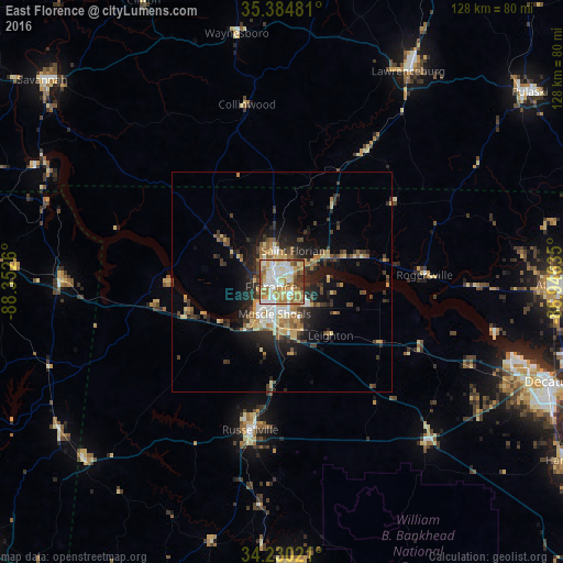
Analysis of East Florence night lights 2016
Square area 10x10 km:
 18.68%
90-99
19.41%80-89
16.48%70-79
13.92%60-69
14.29%50-59
8.06%40-49
4.95%30-39
3.85%20-29
0.37%10-19
0%0-9
0%Square area 50x50 km:
1.47%90-99
1.64%80-89
2.33%70-79
1.6%60-69
1.79%50-59
1.6%40-49
1.75%30-39
2.35%20-29
3.79%10-19
6.44%0-9
75.25%Clear (daylight) street map image can be seen on geolist.org.
Map coordinates:
35° 23' 5.3" North, 88° 21' 9.4" West
34° 48' 34.3" North, 87° 38' 58.1" West
34° 13' 48.8" North, 86° 56' 46.9" West
Some cities around East Florence sort by population:
• Decatur
65 km =40.4 mi,  110°
110°
• Florence
2.8 km =1.7 mi,  246°
246°
• Athens
61.8 km =38.4 mi,  90°
90°
• Muscle Shoals
7.4 km =4.6 mi,  192°
192°
• Lawrenceburg
56 km =34.8 mi,  30°
30°
• Russellville
34.3 km =21.3 mi, 192°
• Sheffield
6.7 km =4.2 mi,  222°
222°
• Tuscumbia
10 km =6.2 mi,  209°
209°
4059870 (p: 35,733)
Sources (retrieved 2019-11-25):
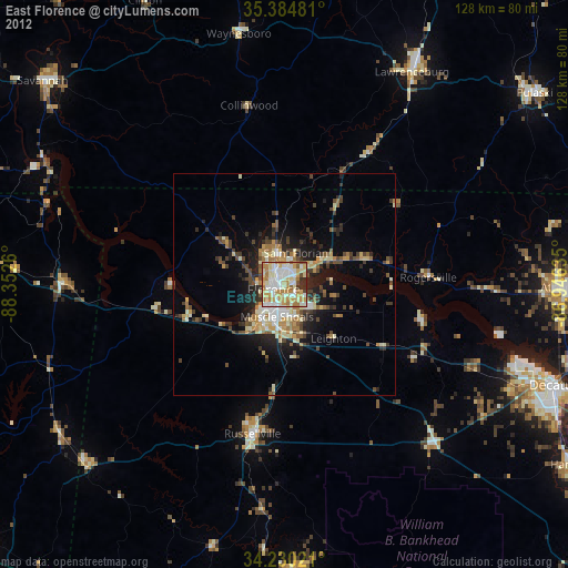
» Earth at Night: Flat Maps 2012, 2016