Moab night lights from space
Night Light of Moab (Utah) from space (United States) Src. Average luminocity for 10x10km area is 11.7321% and for 50x50km: 0.5717%.
Analysis of Moab night lights 2016
Square area 10x10 km:
 0.81%
0.81%90-99
0.49%80-89
0.65%70-79
2.92%60-69
2.27%50-59
2.11%40-49
3.08%30-39
2.76%20-29
2.6%10-19
0%0-9
82.31%Square area 50x50 km:
0.03%90-99
0.02%80-89
0.03%70-79
0.15%60-69
0.09%50-59
0.1%40-49
0.17%30-39
0.13%20-29
0.13%10-19
0.02%0-9
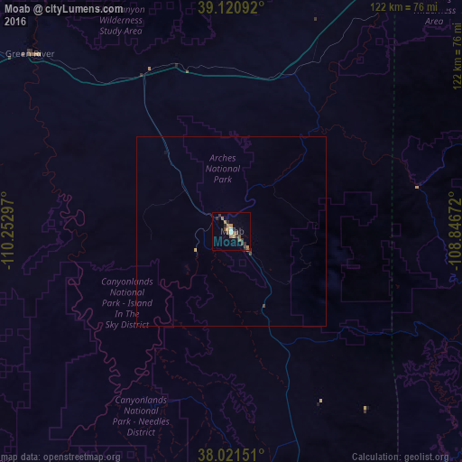
99.13%Clear (daylight) street map image can be seen on geolist.org.
Map coordinates:
39° 7' 15.3" North, 110° 15' 10.7" West
38° 34' 24" North, 109° 32' 59.4" West
38° 1' 17.4" North, 108° 50' 48.2" West
Some cities around Moab sort by population:
• Grand Junction
102.3 km =63.6 mi,  57°
57°
• Clifton
111.4 km =69.2 mi, 58°
• Montrose
146 km =90.7 mi,  94°
94°
• Fruita
96.4 km =59.9 mi,  47°
47°
• Delta
129.9 km =80.7 mi,  81°
81°
• Redlands
97.1 km =60.3 mi, 54°
• Fruitvale
107.3 km =66.7 mi, 58°
• Orchard Mesa
101 km =62.8 mi, 58°
5543307 (p: 5,235)
Sources (retrieved 2019-11-25):
» Earth at Night: Flat Maps 2012, 2016