Minnetonka Mills night lights from space
Night Light of Minnetonka Mills (Minnesota) from space (United States) Src. Average luminocity for 10x10km area is 76.1333% and for 50x50km: 57.0183%.
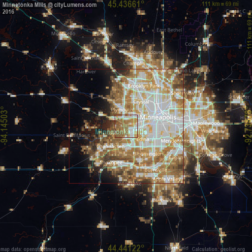
Analysis of Minnetonka Mills night lights 2016
Square area 10x10 km:
 17.14%
90-99
15.87%80-89
6.67%70-79
15.71%60-69
24.13%50-59
18.41%40-49
1.43%30-39
0.63%20-29
0%10-19
0%0-9
0%Square area 50x50 km:
15.72%90-99
13.37%80-89
6.68%70-79
7.72%60-69
11.06%50-59
7.64%40-49
4.97%30-39
3.06%20-29
3.81%10-19
5.88%0-9
20.1%Clear (daylight) street map image can be seen on geolist.org.
Map coordinates:
45° 26' 11.8" North, 94° 8' 42.1" West
44° 56' 27.9" North, 93° 26' 30.8" West
44° 26' 28.4" North, 92° 44' 19.6" West
Some cities around Minnetonka Mills sort by population:
• Plymouth
7.8 km =4.8 mi,  352°
352°
• Eden Prairie
9.9 km =6.2 mi,  193°
193°
• Edina
9.2 km =5.7 mi,  128°
128°
• Saint Louis Park
7.4 km =4.6 mi,  83°
83°
• Chanhassen
11.2 km =7 mi,  218°
218°
• Golden Valley
10.6 km =6.6 mi,  43°
43°
• New Hope
11.6 km =7.2 mi,  21°
21°
• Hopkins
2.4 km =1.5 mi, 222°
5037790 (p: 50,117)
Sources (retrieved 2019-11-25):
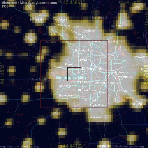
» NASA, Earths city lights 1995
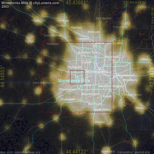
» NASA city lights 2003
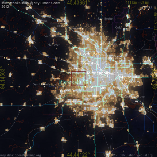
» Earth at Night: Flat Maps 2012, 2016