La Grande night lights from space
Night Light of La Grande (Oregon) from space (United States) Src. Average luminocity for 10x10km area is 18.9317% and for 50x50km: 0.8984%.
Analysis of La Grande night lights 2016
Square area 10x10 km:
 3.17%
3.17%90-99
3.49%80-89
1.9%70-79
2.54%60-69
1.27%50-59
0.79%40-49
4.44%30-39
2.22%20-29
1.75%10-19
11.59%0-9
66.83%Square area 50x50 km:
0.12%90-99
0.15%80-89
0.07%70-79
0.1%60-69
0.08%50-59
0.05%40-49
0.2%30-39
0.16%20-29
0.15%10-19
0.49%0-9
98.43%Clear (daylight) street map image can be seen on geolist.org.
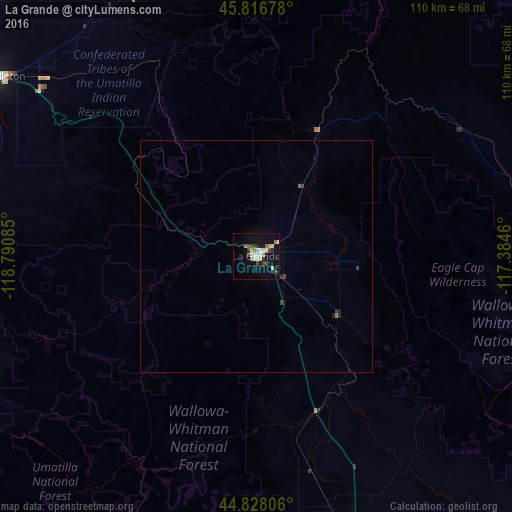
Map coordinates:
45° 49' 0.4" North, 118° 47' 27.1" West
45° 19' 28.5" North, 118° 5' 15.8" West
44° 49' 41" North, 117° 23' 4.6" West
Some cities around La Grande sort by population:
• Walla Walla
84.6 km =52.6 mi,  346°
346°
• Hermiston
109.7 km =68.2 mi,  301°
301°
• Pendleton
66.9 km =41.6 mi,  305°
305°
• Baker City
64.3 km =40 mi,  161°
161°
• College Place
83.9 km =52.1 mi,  343°
343°
• Milton-Freewater
71.5 km =44.4 mi, 340°
• Umatilla
117.8 km =73.2 mi, 304°
• Finley
117.9 km =73.3 mi,  321°
321°
5735537 (p: 13,074)
Sources (retrieved 2019-11-25):
» Earth at Night: Flat Maps 2012, 2016