Woodstock night lights from space
Night Light of Woodstock (Georgia) from space (United States) Src. Average luminocity for 10x10km area is 83.6245% and for 50x50km: 62.1838%.
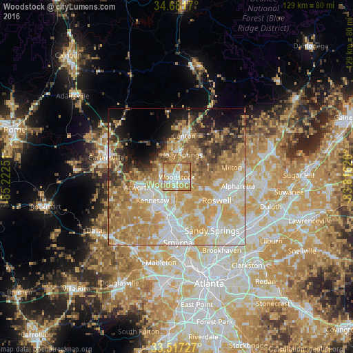
Analysis of Woodstock night lights 2016
Square area 10x10 km:
 17.77%
90-99
19.23%80-89
13.19%70-79
36.26%60-69
12.09%50-59
1.47%40-49
0%30-39
0%20-29
0%10-19
0%0-9
0%Square area 50x50 km:
11.95%90-99
12.29%80-89
12.16%70-79
15.57%60-69
11.97%50-59
5.47%40-49
4%30-39
4.16%20-29
5.16%10-19
6.65%0-9
10.62%Clear (daylight) street map image can be seen on geolist.org.
Map coordinates:
34° 40' 54.1" North, 85° 13' 21" West
34° 6' 5.4" North, 84° 31' 9.8" West
33° 31' 2.2" North, 83° 48' 58.5" West
Some cities around Woodstock sort by population:
• Roswell
16.9 km =10.5 mi,  120°
120°
• Marietta
16.8 km =10.4 mi,  189°
189°
• Milton
20.4 km =12.7 mi,  80°
80°
• Kennesaw
12.4 km =7.7 mi,  225°
225°
• Canton
15.3 km =9.5 mi,  9°
9°
• Acworth
15.2 km =9.4 mi,  255°
255°
• Holly Springs
8.2 km =5.1 mi, 11°
• Fair Oaks
20.7 km =12.9 mi, 186°
4231874 (p: 29,898)
Sources (retrieved 2019-11-25):
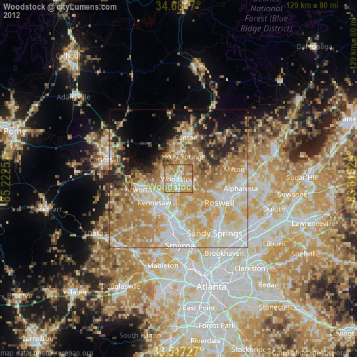
» Earth at Night: Flat Maps 2012, 2016