Middletown night lights from space
Night Light of Middletown (Connecticut) from space (United States) Src. Average luminocity for 10x10km area is 59.0969% and for 50x50km: 33.7466%.
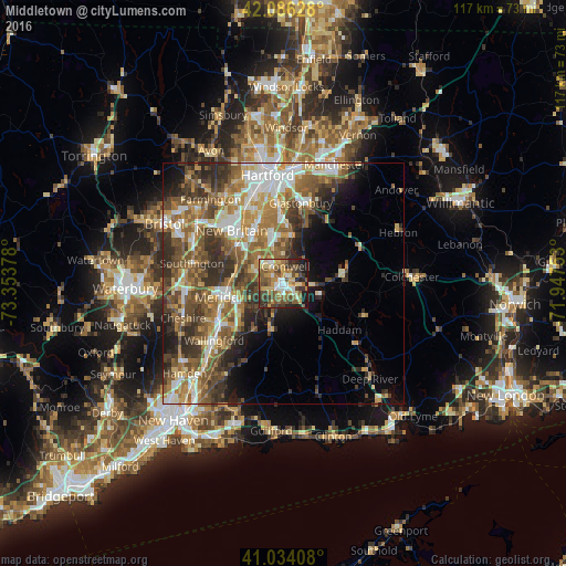
Analysis of Middletown night lights 2016
Square area 10x10 km:
 7.31%
7.31%90-99
8.16%80-89
10.88%70-79
10.03%60-69
11.22%50-59
14.12%40-49
12.76%30-39
10.54%20-29
9.69%10-19
5.27%0-9
0%Square area 50x50 km:
5.06%90-99
5.22%80-89
4.11%70-79
5.06%60-69
6.43%50-59
7.44%40-49
6.16%30-39
6.73%20-29
6.56%10-19
6.22%0-9
40.99%Clear (daylight) street map image can be seen on geolist.org.
Map coordinates:
42° 5' 10.6" North, 73° 21' 13.6" West
41° 33' 44.4" North, 72° 39' 2.3" West
41° 2' 2.7" North, 71° 56' 51.1" West
Some cities around Middletown sort by population:
• New Britain
15.4 km =9.6 mi,  315°
315°
• Meriden
13.3 km =8.3 mi,  258°
258°
• Newington
16.2 km =10.1 mi,  338°
338°
• Wethersfield
16.9 km =10.5 mi,  359°
359°
• Cromwell
3.7 km =2.3 mi,  6°
6°
• Kensington
12.7 km =7.9 mi,  309°
309°
• Glastonbury Center
16 km =9.9 mi,  15°
15°
• Portland
1.4 km =0.9 mi,  35°
35°
4838633 (p: 46,756)
Sources (retrieved 2019-11-25):
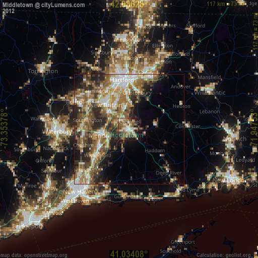
» Earth at Night: Flat Maps 2012, 2016