Mesquite night lights from space
Night Light of Mesquite (Texas) from space (United States) Src. Average luminocity for 10x10km area is 87.5699% and for 50x50km: 65.4036%.
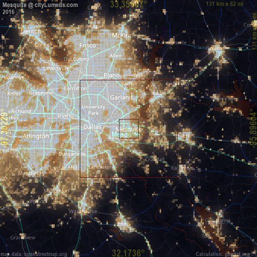
Analysis of Mesquite night lights 2016
Square area 10x10 km:
 21.5%
21.5%90-99
32.34%80-89
20.8%70-79
9.79%60-69
12.76%50-59
2.8%40-49
0%30-39
0%20-29
0%10-19
0%0-9
0%Square area 50x50 km:
21.06%90-99
16.22%80-89
8.06%70-79
7.34%60-69
8.4%50-59
6.37%40-49
5.3%30-39
6.84%20-29
5.53%10-19
7.31%0-9
7.58%Clear (daylight) street map image can be seen on geolist.org.
Map coordinates:
33° 21' 21.9" North, 97° 18' 8.2" West
32° 46' 0.5" North, 96° 35' 57" West
32° 10' 25" North, 95° 53' 45.7" West
Some cities around Mesquite sort by population:
• Garland
16.6 km =10.3 mi,  347°
347°
• Rowlett
15.5 km =9.6 mi,  12°
12°
• Balch Springs
4.8 km =3 mi,  207°
207°
• Forney
12.1 km =7.5 mi,  99°
99°
• Seagoville
15.2 km =9.4 mi,  158°
158°
• Heath
14 km =8.7 mi,  56°
56°
• Sunnyvale
4.9 km =3 mi,  47°
47°
• Hutchins
16.9 km =10.5 mi,  219°
219°
4710826 (p: 144,788)
Sources (retrieved 2019-11-25):
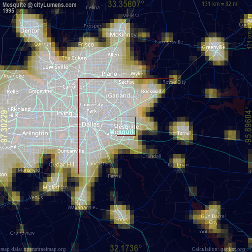
» NASA, Earths city lights 1995
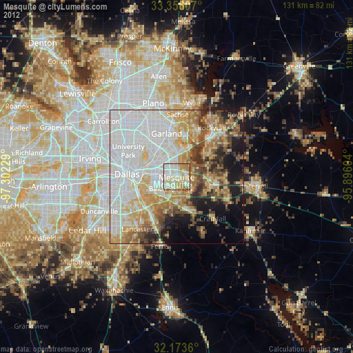
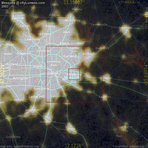
» NASA city lights 2003
» Earth at Night: Flat Maps 2012, 2016