Mercer Island night lights from space
Night Light of Mercer Island (Washington) from space (United States) Src. Average luminocity for 10x10km area is 65.8892% and for 50x50km: 39.6875%.
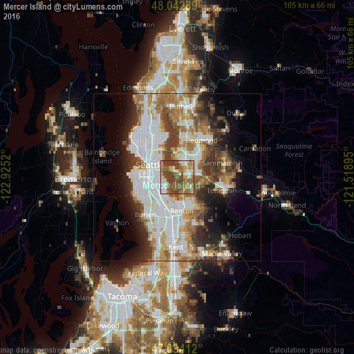
Analysis of Mercer Island night lights 2016
Square area 10x10 km:
 10.37%
90-99
12.36%80-89
5.11%70-79
11.08%60-69
16.34%50-59
15.2%40-49
19.6%30-39
9.94%20-29
0%10-19
0%0-9
0%Square area 50x50 km:
11.18%90-99
9.31%80-89
3.29%70-79
4.25%60-69
6.27%50-59
4.59%40-49
4.78%30-39
5.24%20-29
5.57%10-19
7.25%0-9
38.27%Clear (daylight) street map image can be seen on geolist.org.
Map coordinates:
48° 2' 34.4" North, 122° 55' 30.7" West
47° 34' 14.3" North, 122° 13' 19.5" West
47° 5' 38.8" North, 121° 31' 8.2" West
Some cities around Mercer Island sort by population:
• Seattle
9.1 km =5.7 mi,  295°
295°
• Bellevue
4.7 km =2.9 mi,  19°
19°
• Renton
9.8 km =6.1 mi,  177°
177°
• West Lake Sammamish
9.1 km =5.7 mi,  85°
85°
• Tukwila
11.1 km =6.9 mi,  195°
195°
• Bryn Mawr-Skyway
8.6 km =5.3 mi,  189°
189°
• Newcastle
6.1 km =3.8 mi,  125°
125°
• Riverton
11 km =6.8 mi,  209°
209°
5803139 (p: 25,042)
Sources (retrieved 2019-11-25):
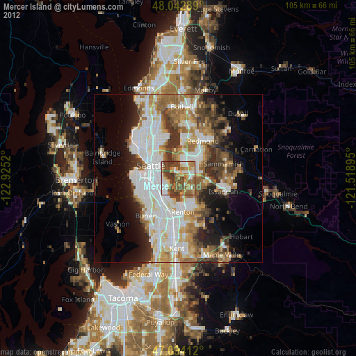
» Earth at Night: Flat Maps 2012, 2016