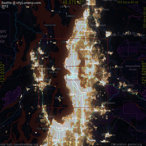
Seattle night lights from space
Night Light of Seattle (Washington) from space (United States) Src. Average luminocity for 10x10km area is 87.4361% and for 50x50km: 41.6883%.
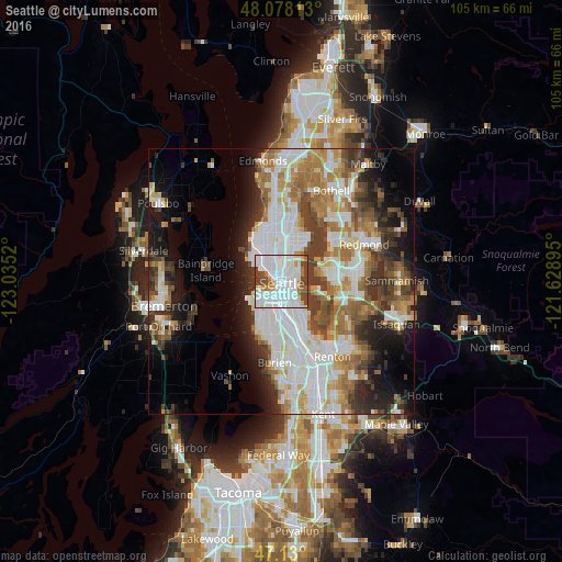
Analysis of Seattle night lights 2016
Square area 10x10 km:
 49.72%
90-99
23.01%80-89
1.99%70-79
4.12%60-69
4.83%50-59
3.27%40-49
11.51%30-39
1.56%20-29
0%10-19
0%0-9
0%Square area 50x50 km:
11.59%90-99
9.72%80-89
3.5%70-79
4.39%60-69
6.55%50-59
4.53%40-49
5.29%30-39
5.68%20-29
6.01%10-19
9.21%0-9
33.54%Clear (daylight) street map image can be seen on geolist.org.
Map coordinates:
48° 4' 41.3" North, 123° 2' 6.7" West
47° 36' 22.4" North, 122° 19' 55.5" West
47° 7' 48" North, 121° 37' 44.2" West
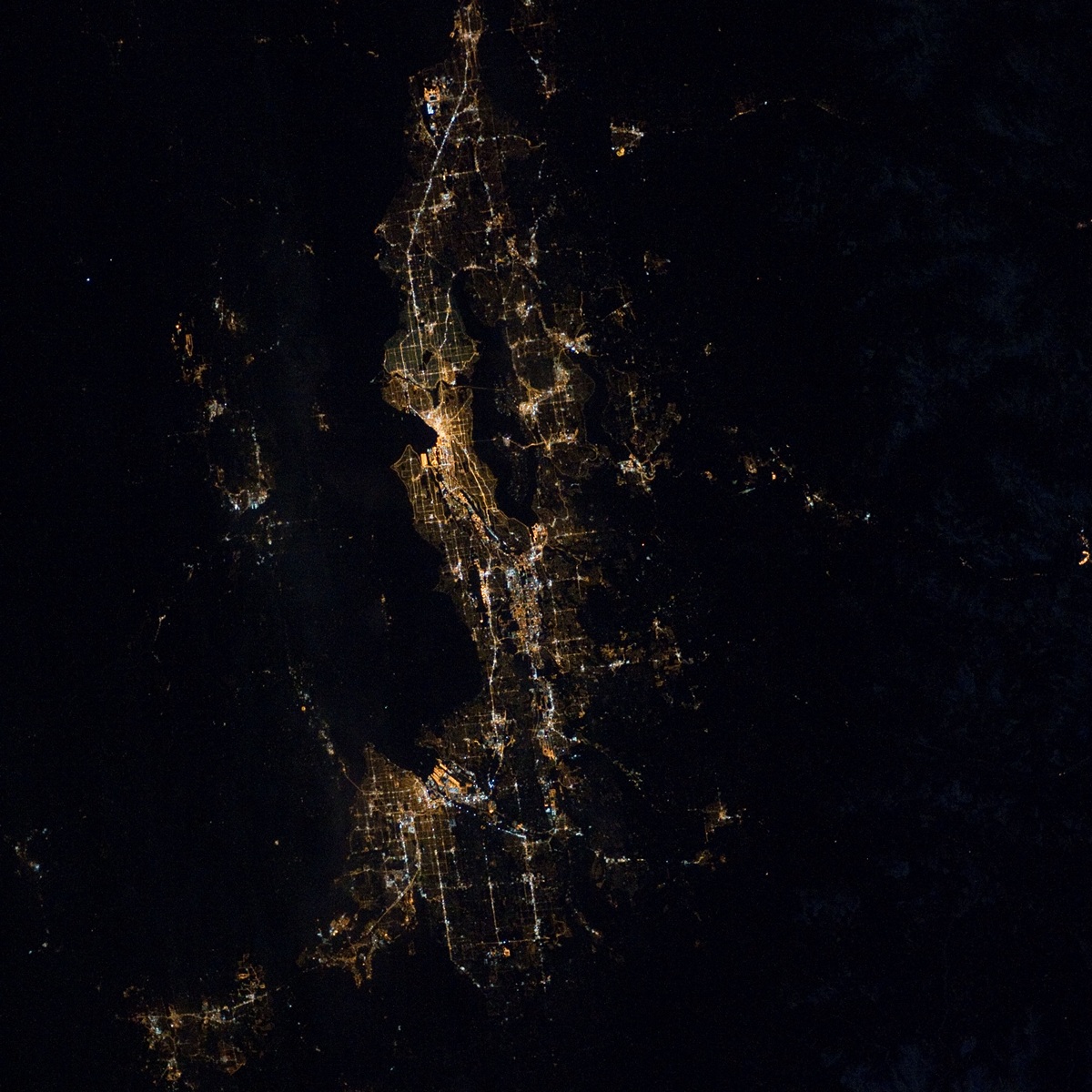
Fantastic image of Seattle from space taken by astronauts [src2], but I don't have information about it's orientation, scale or angle. If necessary, it was rotated manually, so North points approximately to upper direction. Click to zoom in:
Some cities around Seattle sort by population:
• Bellevue
9.9 km =6.2 mi,  87°
87°
• Kirkland
12.5 km =7.8 mi,  47°
47°
• Mercer Island
9.1 km =5.7 mi,  115°
115°
• Bainbridge Island
14.4 km =8.9 mi,  278°
278°
• Bryn Mawr-Skyway
14.2 km =8.8 mi,  151°
151°
• White Center
10 km =6.2 mi,  189°
189°
• Riverton
13.8 km =8.6 mi,  168°
168°
• Boulevard Park
13.1 km =8.1 mi, 174°
5809844 (p: 684,451)
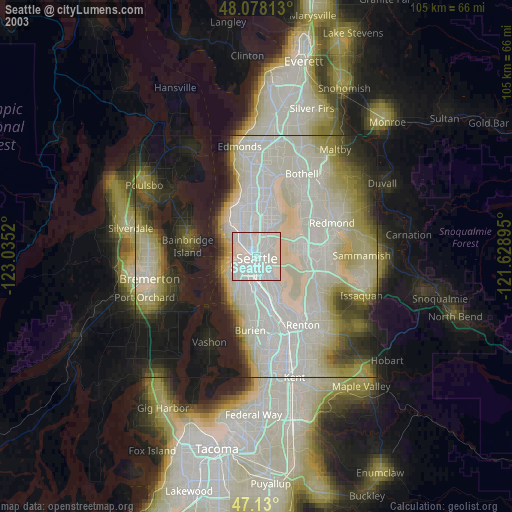
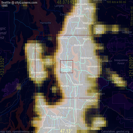
Sources (retrieved 2019-11-25):
» NASA, Earths city lights 1995
» NASA city lights 2003
» Earth at Night: Flat Maps 2012, 2016
Src.2: NASA Photo ID ISS030-E-66379 NASAĀĀ2012-02-04