Mendota night lights from space
Night Light of Mendota (California) from space (United States) Src. Average luminocity for 10x10km area is 11.3269% and for 50x50km: 1.85%.
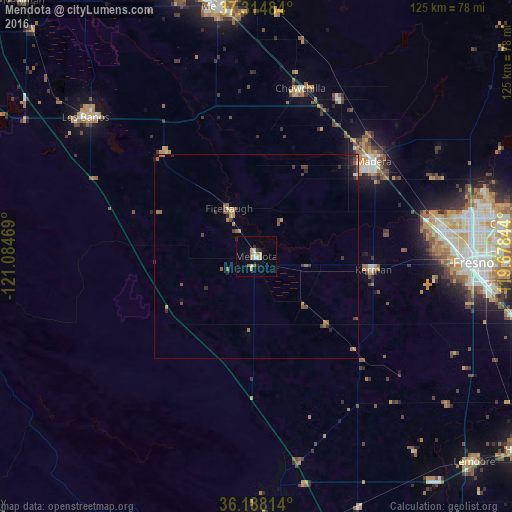
Analysis of Mendota night lights 2016
Square area 10x10 km:
 1.05%
1.05%90-99
2.45%80-89
0.17%70-79
2.8%60-69
2.62%50-59
0.17%40-49
0.52%30-39
0.7%20-29
2.27%10-19
0.17%0-9
87.06%Square area 50x50 km:
0.08%90-99
0.12%80-89
0.04%70-79
0.39%60-69
0.46%50-59
0.39%40-49
0.3%30-39
0.36%20-29
0.44%10-19
0.53%0-9
96.89%Clear (daylight) street map image can be seen on geolist.org.
Map coordinates:
37° 18' 53.4" North, 121° 5' 4.9" West
36° 45' 12.8" North, 120° 22' 53.6" West
36° 11' 17.3" North, 119° 40' 42.4" West
Some cities around Mendota sort by population:
• Madera
36.7 km =22.8 mi,  51°
51°
• Chowchilla
42.5 km =26.4 mi,  14°
14°
• Kerman
28.9 km =18 mi,  96°
96°
• Madera Acres
40.7 km =25.3 mi,  43°
43°
• Bonadelle Ranchos-Madera Ranchos
51.9 km =32.2 mi,  60°
60°
• Firebaugh
13.5 km =8.4 mi,  330°
330°
• Old Fig Garden
51.6 km =32.1 mi,  84°
84°
• Dos Palos
33.8 km =21 mi,  319°
319°
5372190 (p: 11,430)
Sources (retrieved 2019-11-25):
» Earth at Night: Flat Maps 2012, 2016