Mauldin night lights from space
Night Light of Mauldin (South Carolina) from space (United States) Src. Average luminocity for 10x10km area is 85.7216% and for 50x50km: 47.6626%.
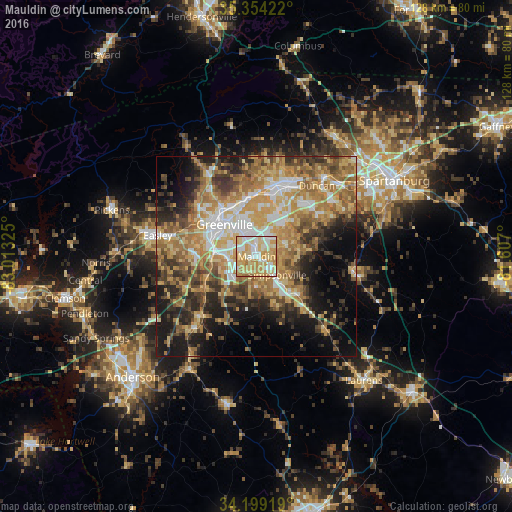
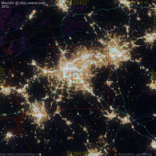
Analysis of Mauldin night lights 2016
Square area 10x10 km:
 16.67%
90-99
21.98%80-89
30.04%70-79
24.73%60-69
5.86%50-59
0.73%40-49
0%30-39
0%20-29
0%10-19
0%0-9
0%Square area 50x50 km:
6.1%90-99
6.53%80-89
9.2%70-79
9.93%60-69
10.42%50-59
6.83%40-49
6.2%30-39
7.47%20-29
7.77%10-19
12.04%0-9
17.52%Clear (daylight) street map image can be seen on geolist.org.
Map coordinates:
35° 21' 15.2" North, 83° 0' 47.7" West
34° 46' 43.4" North, 82° 18' 36.4" West
34° 11' 57.1" North, 81° 36' 25.2" West
Some cities around Mauldin sort by population:
• Greenville
11.2 km =7 mi,  317°
317°
• Simpsonville
6.9 km =4.3 mi,  132°
132°
• Wade Hampton
14.1 km =8.8 mi,  351°
351°
• Gantt
10.7 km =6.6 mi,  282°
282°
• Five Forks
7.9 km =4.9 mi,  68°
68°
• Fountain Inn
14.5 km =9 mi, 133°
• Sans Souci
15.2 km =9.4 mi, 316°
• Welcome
12.9 km =8 mi,  294°
294°
4586523 (p: 25,135)
Sources (retrieved 2019-11-25):
» Earth at Night: Flat Maps 2012, 2016