Simpsonville night lights from space
Night Light of Simpsonville (South Carolina) from space (United States) Src. Average luminocity for 10x10km area is 75.1044% and for 50x50km: 44.3836%.
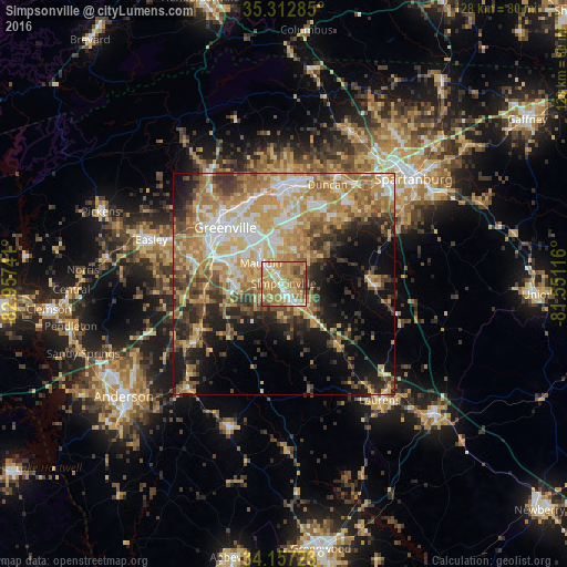
Analysis of Simpsonville night lights 2016
Square area 10x10 km:
 10.07%
90-99
10.62%80-89
17.4%70-79
24.18%60-69
22.71%50-59
8.06%40-49
5.86%30-39
1.1%20-29
0%10-19
0%0-9
0%Square area 50x50 km:
6.22%90-99
6.58%80-89
8.49%70-79
9.24%60-69
9.44%50-59
5.58%40-49
5.2%30-39
6.39%20-29
6.74%10-19
11.13%0-9
24.99%Clear (daylight) street map image can be seen on geolist.org.
Map coordinates:
35° 18' 46.3" North, 82° 57' 26.7" West
34° 44' 13.4" North, 82° 15' 15.4" West
34° 9' 26" North, 81° 33' 4.2" West
Some cities around Simpsonville sort by population:
• Greenville
18.1 km =11.2 mi,  315°
315°
• Mauldin
6.9 km =4.3 mi,  312°
312°
• Wade Hampton
19.9 km =12.4 mi,  338°
338°
• Gantt
17 km =10.6 mi,  294°
294°
• Five Forks
7.9 km =4.9 mi,  16°
16°
• Fountain Inn
7.6 km =4.7 mi,  134°
134°
• Welcome
19.6 km =12.2 mi,  300°
300°
• Piedmont
19.6 km =12.2 mi,  258°
258°
4595864 (p: 20,736)
Sources (retrieved 2019-11-25):
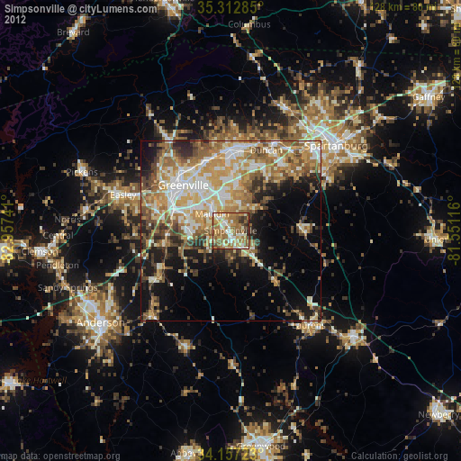
» Earth at Night: Flat Maps 2012, 2016