Mason night lights from space
Night Light of Mason (Ohio) from space (United States) Src. Average luminocity for 10x10km area is 76.165% and for 50x50km: 48.7056%.
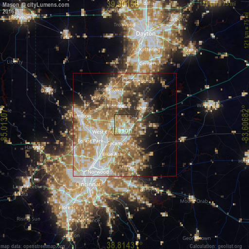

Analysis of Mason night lights 2016
Square area 10x10 km:
 12.93%
90-99
17.35%80-89
12.07%70-79
24.83%60-69
13.61%50-59
10.03%40-49
3.06%30-39
5.95%20-29
0.17%10-19
0%0-9
0%Square area 50x50 km:
9.18%90-99
10.67%80-89
6.86%70-79
9.61%60-69
8.23%50-59
8%40-49
5.01%30-39
5.17%20-29
5.41%10-19
6.02%0-9
25.84%Clear (daylight) street map image can be seen on geolist.org.
Map coordinates:
39° 54' 5.7" North, 85° 0' 47.1" West
39° 21' 36.2" North, 84° 18' 35.8" West
38° 48' 51.5" North, 83° 36' 24.6" West
Some cities around Mason sort by population:
• Lebanon
12.4 km =7.7 mi,  47°
47°
• Sharonville
13.5 km =8.4 mi,  221°
221°
• Monroe
10 km =6.2 mi,  333°
333°
• Loveland
10.9 km =6.8 mi,  158°
158°
• Blue Ash
15.4 km =9.6 mi,  202°
202°
• Montgomery
15.2 km =9.4 mi,  194°
194°
• Beckett Ridge
10.9 km =6.8 mi,  262°
262°
• Landen
5.8 km =3.6 mi, 156°
4517698 (p: 32,662)
Sources (retrieved 2019-11-25):
» Earth at Night: Flat Maps 2012, 2016