Blue Ash night lights from space
Night Light of Blue Ash (Ohio) from space (United States) Src. Average luminocity for 10x10km area is 85.4218% and for 50x50km: 61.9156%.
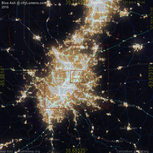
Analysis of Blue Ash night lights 2016
Square area 10x10 km:
 20.75%
90-99
27.89%80-89
16.5%70-79
20.41%60-69
10.03%50-59
4.42%40-49
0%30-39
0%20-29
0%10-19
0%0-9
0%Square area 50x50 km:
12.66%90-99
14.21%80-89
9.01%70-79
12.03%60-69
11.47%50-59
9.33%40-49
4.96%30-39
4.68%20-29
5.85%10-19
6.58%0-9
9.23%Clear (daylight) street map image can be seen on geolist.org.
Map coordinates:
39° 46' 28.3" North, 85° 4' 53" West
39° 13' 55.2" North, 84° 22' 41.8" West
38° 41' 6.9" North, 83° 40' 30.5" West
Some cities around Blue Ash sort by population:
• Sharonville
5 km =3.1 mi,  323°
323°
• Montgomery
2.1 km =1.3 mi,  101°
101°
• Reading
5.6 km =3.5 mi,  260°
260°
• Madeira
4.7 km =2.9 mi,  164°
164°
• Wyoming
7.5 km =4.7 mi,  269°
269°
• Kenwood
2.6 km =1.6 mi, 158°
• The Village of Indian Hill
6.9 km =4.3 mi,  147°
147°
• Deer Park
3.3 km =2.1 mi,  205°
205°
4506754 (p: 12,159)
Sources (retrieved 2019-11-25):
» Earth at Night: Flat Maps 2012, 2016