Maryvale night lights from space
Night Light of Maryvale (Arizona) from space (United States) Src. Average luminocity for 10x10km area is 98.2985% and for 50x50km: 74.0984%.
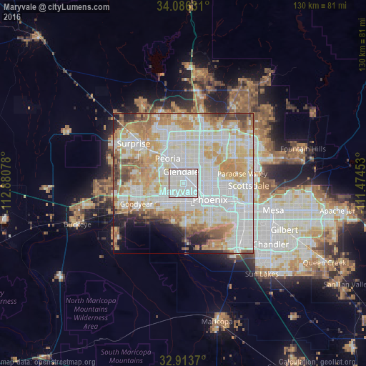

Analysis of Maryvale night lights 2016
Square area 10x10 km:
 49.63%
90-99
49.63%80-89
0.73%70-79
0%60-69
0%50-59
0%40-49
0%30-39
0%20-29
0%10-19
0%0-9
0%Square area 50x50 km:
24.83%90-99
21.6%80-89
9.22%70-79
11.73%60-69
8.79%50-59
4.6%40-49
3.17%30-39
2.44%20-29
2.98%10-19
3.26%0-9
7.39%Clear (daylight) street map image can be seen on geolist.org.
Map coordinates:
34° 5' 10.7" North, 112° 52' 50.8" West
33° 30' 7.2" North, 112° 10' 39.5" West
32° 54' 49.3" North, 111° 28' 28.3" West
Some cities around Maryvale sort by population:
• Phoenix
11.3 km =7 mi,  121°
121°
• Glendale
4.1 km =2.5 mi,  349°
349°
• Peoria
10.3 km =6.4 mi,  327°
327°
• Alhambra
4 km =2.5 mi,  95°
95°
• Central City
13.1 km =8.1 mi, 121°
• Encanto
9.6 km =6 mi,  105°
105°
• Sun City
13.7 km =8.5 mi,  320°
320°
• Tolleson
9.5 km =5.9 mi,  232°
232°
5303929 (p: 208,189)
Sources (retrieved 2019-11-25):
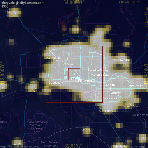
» NASA, Earths city lights 1995
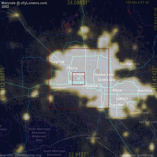
» NASA city lights 2003
» Earth at Night: Flat Maps 2012, 2016