Sun City night lights from space
Night Light of Sun City (Arizona) from space (United States) Src. Average luminocity for 10x10km area is 87.3095% and for 50x50km: 62.0873%.
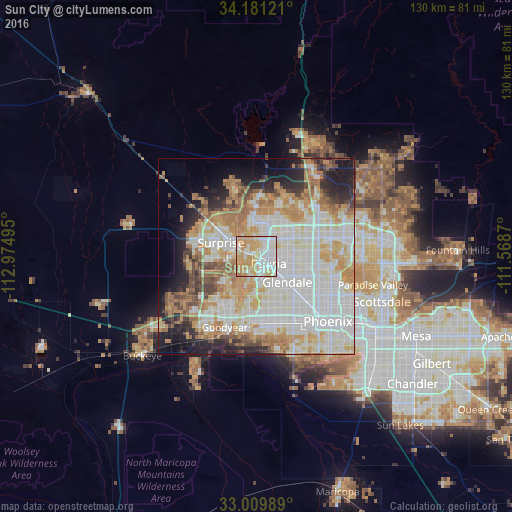
Analysis of Sun City night lights 2016
Square area 10x10 km:
 23.08%
90-99
26.74%80-89
15.2%70-79
31.32%60-69
3.48%50-59
0.18%40-49
0%30-39
0%20-29
0%10-19
0%0-9
0%Square area 50x50 km:
18.79%90-99
16.99%80-89
6.95%70-79
9.58%60-69
8.76%50-59
4.69%40-49
3.62%30-39
2.98%20-29
6.2%10-19
8.21%0-9
13.24%Clear (daylight) street map image can be seen on geolist.org.
Map coordinates:
34° 10' 52.4" North, 112° 58' 29.8" West
33° 35' 51.1" North, 112° 16' 18.6" West
33° 0' 35.6" North, 111° 34' 7.3" West
Some cities around Sun City sort by population:
• Glendale
10.3 km =6.4 mi,  129°
129°
• Maryvale
13.7 km =8.5 mi,  140°
140°
• Peoria
3.7 km =2.3 mi,  120°
120°
• Deer Valley
15.9 km =9.9 mi,  52°
52°
• Surprise
6.8 km =4.2 mi,  302°
302°
• El Mirage
5.2 km =3.2 mi,  289°
289°
• Youngtown
2.9 km =1.8 mi,  262°
262°
• Litchfield Park
14.1 km =8.8 mi,  214°
214°
5316201 (p: 37,499)
Sources (retrieved 2019-11-25):
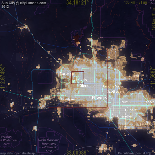
» Earth at Night: Flat Maps 2012, 2016