Phoenix night lights from space
Night Light of Phoenix (Arizona) from space (United States) Src. Average luminocity for 10x10km area is 97.9266% and for 50x50km: 71.7519%.
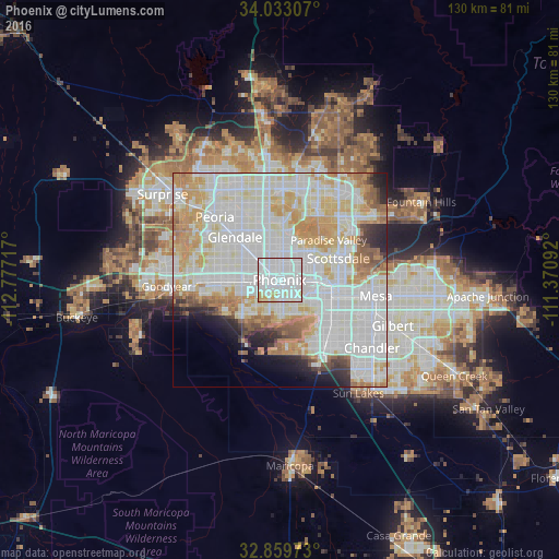
Analysis of Phoenix night lights 2016
Square area 10x10 km:
 75.87%
90-99
14.86%80-89
5.59%70-79
3.67%60-69
0%50-59
0%40-49
0%30-39
0%20-29
0%10-19
0%0-9
0%Square area 50x50 km:
27.22%90-99
22.33%80-89
8.32%70-79
9.27%60-69
6.13%50-59
3.46%40-49
2.01%30-39
1.82%20-29
3.42%10-19
3.67%0-9
12.36%Clear (daylight) street map image can be seen on geolist.org.
Map coordinates:
34° 1' 59.1" North, 112° 46' 37.8" West
33° 26' 54.2" North, 112° 4' 26.5" West
32° 51' 35" North, 111° 22' 15.3" West
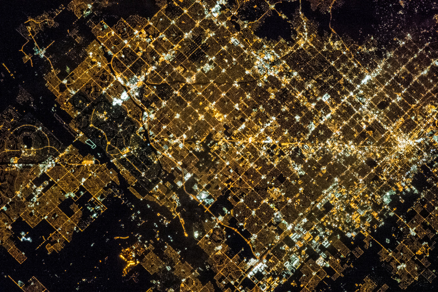
Fantastic image of Phoenix from space taken by astronauts [src2], but I don't have information about it's orientation, scale or angle. If necessary, it was rotated manually, so North points approximately to upper direction. Click to zoom in:
Some cities around Phoenix sort by population:
• Glendale
14.4 km =8.9 mi,  314°
314°
• Maryvale
11.3 km =7 mi,  301°
301°
• Tempe Junction
12.7 km =7.9 mi,  107°
107°
• Alhambra
7.9 km =4.9 mi, 314°
• Central City
1.8 km =1.1 mi,  122°
122°
• Encanto
3.5 km =2.2 mi,  353°
353°
• Guadalupe
13.4 km =8.3 mi,  129°
129°
• Laveen
13 km =8.1 mi,  222°
222°
5308655 (p: 1,563,025)
Sources (retrieved 2019-11-25):
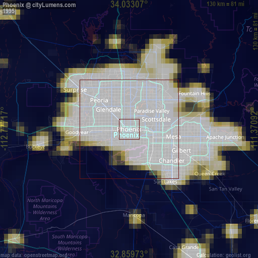
» NASA, Earths city lights 1995
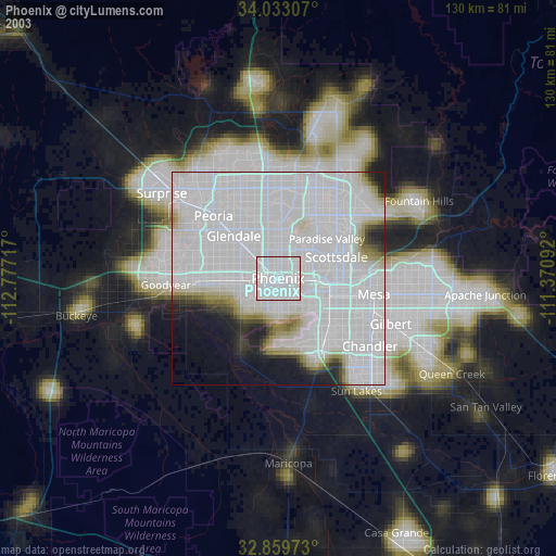
» NASA city lights 2003
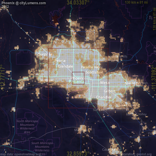
» Earth at Night: Flat Maps 2012, 2016
Src.2: NASA: Phoenix at Night 2013