Encanto night lights from space
Night Light of Encanto (Arizona) from space (United States) Src. Average luminocity for 10x10km area is 99.8278% and for 50x50km: 75.7391%.
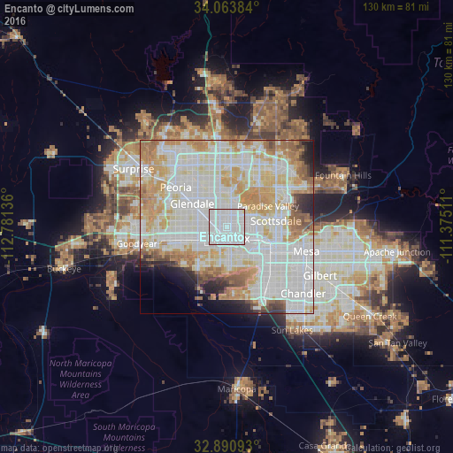
Analysis of Encanto night lights 2016
Square area 10x10 km:
 90.29%
90-99
9.34%80-89
0.37%70-79
0%60-69
0%50-59
0%40-49
0%30-39
0%20-29
0%10-19
0%0-9
0%Square area 50x50 km:
28.03%90-99
23.17%80-89
8.88%70-79
10.24%60-69
7.54%50-59
4.22%40-49
2.22%30-39
1.8%20-29
3.03%10-19
3%0-9
7.87%Clear (daylight) street map image can be seen on geolist.org.
Map coordinates:
34° 3' 49.8" North, 112° 46' 52.9" West
33° 28' 45.7" North, 112° 4' 41.6" West
32° 53' 27.3" North, 111° 22' 30.4" West
Some cities around Encanto sort by population:
• Phoenix
3.5 km =2.2 mi,  173°
173°
• Glendale
12 km =7.5 mi,  303°
303°
• Maryvale
9.6 km =6 mi,  285°
285°
• Tempe Junction
14.4 km =8.9 mi,  120°
120°
• Alhambra
5.6 km =3.5 mi, 292°
• Central City
4.8 km =3 mi,  156°
156°
• Paradise Valley
13.8 km =8.6 mi,  65°
65°
• Laveen
15.5 km =9.6 mi,  213°
213°
11979227 (p: 54,614)
Sources (retrieved 2019-11-25):
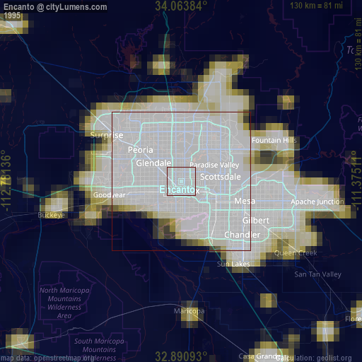
» NASA, Earths city lights 1995
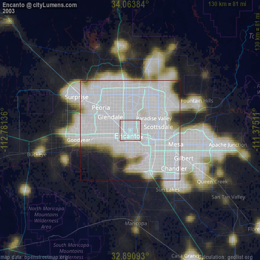
» NASA city lights 2003
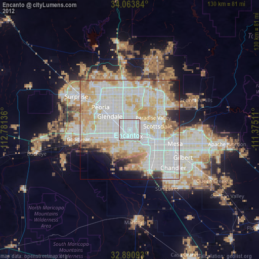
» Earth at Night: Flat Maps 2012, 2016