Tolleson night lights from space
Night Light of Tolleson (Arizona) from space (United States) Src. Average luminocity for 10x10km area is 89.215% and for 50x50km: 56.4599%.
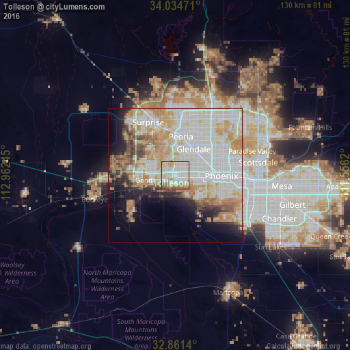
Analysis of Tolleson night lights 2016
Square area 10x10 km:
 33.92%
90-99
32.69%80-89
9.62%70-79
8.92%60-69
9.44%50-59
3.32%40-49
2.1%30-39
0%20-29
0%10-19
0%0-9
0%Square area 50x50 km:
18.34%90-99
15.9%80-89
6.53%70-79
8.5%60-69
6.37%50-59
4%40-49
3.13%30-39
2.29%20-29
4.08%10-19
6.79%0-9
24.06%Clear (daylight) street map image can be seen on geolist.org.
Map coordinates:
34° 2' 5" North, 112° 57' 44.8" West
33° 27' 0.1" North, 112° 15' 33.6" West
32° 51' 41" North, 111° 33' 22.3" West
Some cities around Tolleson sort by population:
• Glendale
12 km =7.5 mi,  34°
34°
• Maryvale
9.5 km =5.9 mi,  52°
52°
• Peoria
14.7 km =9.1 mi,  7°
7°
• Alhambra
12.8 km =8 mi,  65°
65°
• Avondale
8.5 km =5.3 mi,  259°
259°
• Goodyear
9.3 km =5.8 mi, 259°
• Laveen
12.8 km =8 mi,  139°
139°
• Litchfield Park
10.3 km =6.4 mi,  297°
297°
5317663 (p: 7,008)
Sources (retrieved 2019-11-25):
» Earth at Night: Flat Maps 2012, 2016