Maryland Heights night lights from space
Night Light of Maryland Heights (Missouri) from space (United States) Src. Average luminocity for 10x10km area is 92.551% and for 50x50km: 62.4632%.
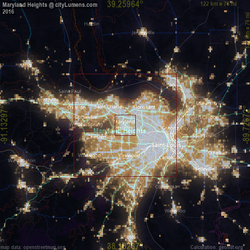
Analysis of Maryland Heights night lights 2016
Square area 10x10 km:
 35.37%
90-99
36.73%80-89
10.54%70-79
11.9%60-69
4.76%50-59
0.68%40-49
0%30-39
0%20-29
0%10-19
0%0-9
0%Square area 50x50 km:
18.18%90-99
14.73%80-89
8.91%70-79
11.17%60-69
8.55%50-59
4.82%40-49
3.24%30-39
4.12%20-29
7.35%10-19
7.19%0-9
11.75%Clear (daylight) street map image can be seen on geolist.org.
Map coordinates:
39° 15' 34.7" North, 91° 7' 58.7" West
38° 42' 47.2" North, 90° 25' 47.4" West
38° 9' 44.5" North, 89° 43' 36.2" West
Some cities around Maryland Heights sort by population:
• Creve Coeur
5.8 km =3.6 mi,  173°
173°
• Overland
6 km =3.7 mi,  102°
102°
• Saint Ann
4.3 km =2.7 mi,  68°
68°
• Bridgeton
6.2 km =3.9 mi,  14°
14°
• Ladue
8.2 km =5.1 mi,  148°
148°
• Olivette
7.1 km =4.4 mi,  138°
138°
• Saint Johns
7.5 km =4.7 mi,  89°
89°
• Saint John
7.3 km =4.5 mi, 88°
4397340 (p: 27,389)
Sources (retrieved 2019-11-25):
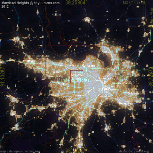
» Earth at Night: Flat Maps 2012, 2016