Marinette night lights from space
Night Light of Marinette (Wisconsin) from space (United States) Src. Average luminocity for 10x10km area is 34.1227% and for 50x50km: 2.221%.
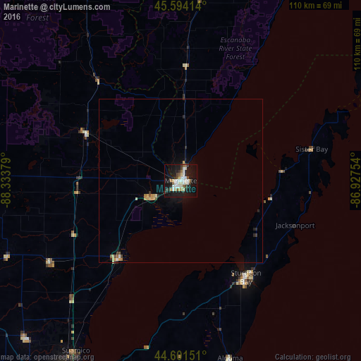
Analysis of Marinette night lights 2016
Square area 10x10 km:
 7.42%
7.42%90-99
7.88%80-89
4.09%70-79
1.82%60-69
2.12%50-59
3.94%40-49
2.73%30-39
3.94%20-29
5.45%10-19
40.15%0-9
20.45%Square area 50x50 km:
0.32%90-99
0.35%80-89
0.3%70-79
0.28%60-69
0.17%50-59
0.23%40-49
0.16%30-39
0.28%20-29
0.42%10-19
1.88%0-9
95.62%Clear (daylight) street map image can be seen on geolist.org.
Map coordinates:
45° 35' 38.9" North, 88° 20' 1.6" West
45° 5' 59.9" North, 87° 37' 50.4" West
44° 36' 5.4" North, 86° 55' 39.1" West
Some cities around Marinette sort by population:
• Green Bay
71.5 km =44.4 mi,  205°
205°
• Howard
71.6 km =44.5 mi, 210°
• Ashwaubenon
76.9 km =47.8 mi, 206°
• Bellevue
76.4 km =47.5 mi,  197°
197°
• Allouez
75.6 km =47 mi, 203°
• Suamico
61.2 km =38 mi, 211°
• Sturgeon Bay
35.7 km =22.2 mi,  145°
145°
• Menominee
1.6 km =1 mi,  56°
56°
5261852 (p: 10,799)
Sources (retrieved 2019-11-25):
» Earth at Night: Flat Maps 2012, 2016