Lynn Haven night lights from space
Night Light of Lynn Haven (Florida) from space (United States) Src. Average luminocity for 10x10km area is 57.3549% and for 50x50km: 14.9087%.
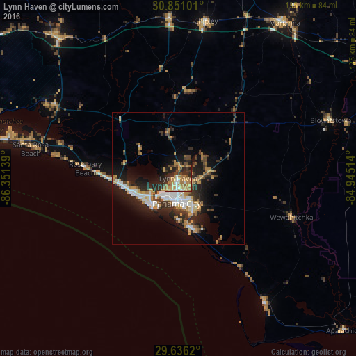
Analysis of Lynn Haven night lights 2016
Square area 10x10 km:
 4.2%
4.2%90-99
7.87%80-89
6.47%70-79
18.53%60-69
20.1%50-59
2.97%40-49
8.04%30-39
7.87%20-29
18.71%10-19
4.55%0-9
0.7%Square area 50x50 km:
2.18%90-99
2.44%80-89
1.08%70-79
2.82%60-69
2.54%50-59
0.82%40-49
2.01%30-39
2.9%20-29
4.99%10-19
9.32%0-9
68.9%Clear (daylight) street map image can be seen on geolist.org.
Map coordinates:
30° 51' 3.6" North, 86° 21' 5" West
30° 14' 43.7" North, 85° 38' 53.7" West
29° 38' 10.3" North, 84° 56' 42.5" West
Some cities around Lynn Haven sort by population:
• Panama City
9.6 km =6 mi,  186°
186°
• Callaway
12.7 km =7.9 mi,  143°
143°
• Upper Grand Lagoon
12.8 km =8 mi,  224°
224°
• Panama City Beach
16.9 km =10.5 mi,  243°
243°
• Springfield
10.9 km =6.8 mi,  160°
160°
• Marianna
71.3 km =44.3 mi,  34°
34°
• Miramar Beach
69.7 km =43.3 mi,  281°
281°
• DeFuniak Springs
69.3 km =43.1 mi,  319°
319°
4163049 (p: 20,156)
Sources (retrieved 2019-11-25):
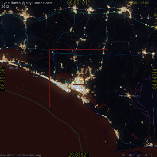
» Earth at Night: Flat Maps 2012, 2016