Marathon night lights from space
Night Light of Marathon (Florida) from space (United States) Src. Average luminocity for 10x10km area is 16.8175% and for 50x50km: 1.2139%.
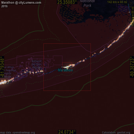
Analysis of Marathon night lights 2016
Square area 10x10 km:
 1.59%
1.59%90-99
2.58%80-89
1.39%70-79
0%60-69
5.36%50-59
4.96%40-49
1.19%30-39
1.59%20-29
0.4%10-19
5.95%0-9
75%Square area 50x50 km:
0.06%90-99
0.11%80-89
0.12%70-79
0.03%60-69
0.51%50-59
0.22%40-49
0.15%30-39
0.18%20-29
0.1%10-19
0.28%0-9
98.24%Clear (daylight) street map image can be seen on geolist.org.
Map coordinates:
25° 21' 3" North, 81° 47' 36.5" West
24° 42' 49.5" North, 81° 5' 25.3" West
24° 4' 24.2" North, 80° 23' 14" West
Some cities around Marathon sort by population:
• Homestead
104.2 km =64.7 mi,  36°
36°
• Key West
72.1 km =44.8 mi,  255°
255°
• Leisure City
109.5 km =68 mi, 37°
• Princeton
114.5 km =71.1 mi, 36°
• Florida City
102.2 km =63.5 mi, 37°
• Key Largo
77 km =47.8 mi,  57°
57°
• Naranja
111.9 km =69.5 mi, 36°
• Islamorada
52.2 km =32.4 mi, 63°
4163379 (p: 8,750)
Sources (retrieved 2019-11-25):
» Earth at Night: Flat Maps 2012, 2016