Key West night lights from space
Night Light of Key West (Florida) from space (United States) Src. Average luminocity for 10x10km area is 34.0734% and for 50x50km: 2.2244%.
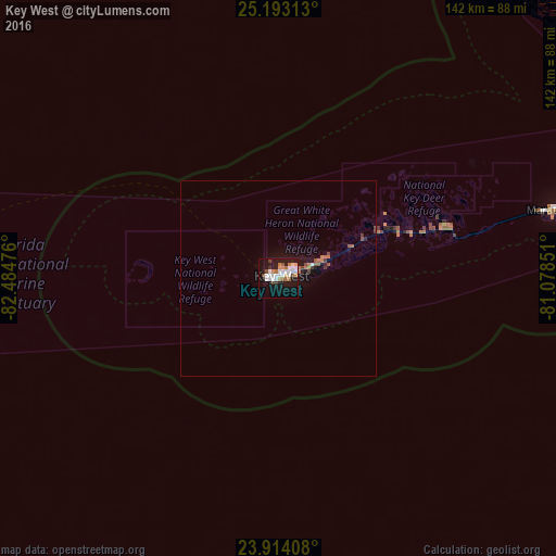
Analysis of Key West night lights 2016
Square area 10x10 km:
 9.33%
9.33%90-99
7.34%80-89
1.39%70-79
1.39%60-69
7.14%50-59
2.18%40-49
4.17%30-39
1.59%20-29
1.19%10-19
35.32%0-9
28.97%Square area 50x50 km:
0.4%90-99
0.3%80-89
0.06%70-79
0.06%60-69
0.54%50-59
0.28%40-49
0.4%30-39
0.19%20-29
0.13%10-19
2.42%0-9
95.23%Clear (daylight) street map image can be seen on geolist.org.
Map coordinates:
25° 11' 35.3" North, 82° 29' 5.1" West
24° 33' 18.9" North, 81° 46' 53.9" West
23° 54' 50.7" North, 81° 4' 42.6" West
Some cities around Key West sort by population:
• Alamar, CU
163.4 km =101.5 mi,  198°
198°
• Santa Cruz del Norte, CU
156.5 km =97.2 mi,  185°
185°
• Marco Island
154.2 km =95.8 mi,  2°
2°
• Marco
157.7 km =98 mi, 1°
• Florida City
164.5 km =102.2 mi,  52°
52°
• Key Largo
147 km =91.3 mi,  66°
66°
• Marathon
72.1 km =44.8 mi,  75°
75°
• Islamorada
123.5 km =76.7 mi, 70°
4160812 (p: 25,755)
Sources (retrieved 2019-11-25):
» Earth at Night: Flat Maps 2012, 2016