Leisure City night lights from space
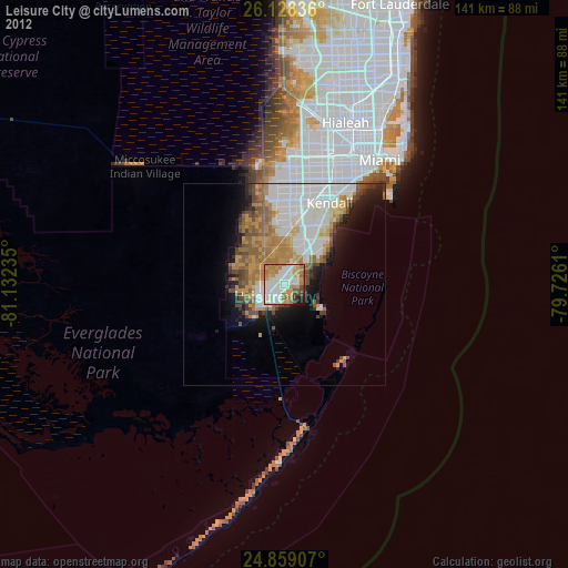
Night Light of Leisure City (Florida) from space (United States) Src. Average luminocity for 10x10km area is 81.9921% and for 50x50km: 25.6576%.
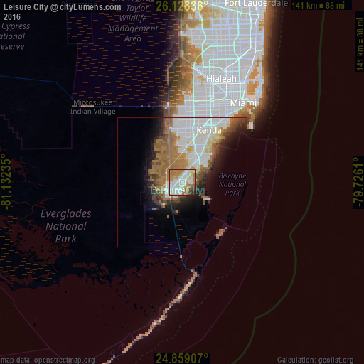
Analysis of Leisure City night lights 2016
Square area 10x10 km:
 23.81%
90-99
27.18%80-89
8.13%70-79
7.74%60-69
22.42%50-59
3.57%40-49
4.56%30-39
1.39%20-29
1.19%10-19
0%0-9
0%Square area 50x50 km:
7.16%90-99
5.49%80-89
1.93%70-79
1.31%60-69
7.11%50-59
3.6%40-49
2.67%30-39
2.25%20-29
3.03%10-19
6.09%0-9
59.37%Clear (daylight) street map image can be seen on geolist.org.
Map coordinates:
26° 7' 42.1" North, 81° 7' 56.5" West
25° 29' 43.4" North, 80° 25' 45.2" West
24° 51' 32.7" North, 79° 43' 34" West
Some cities around Leisure City sort by population:
• Homestead
5.7 km =3.5 mi,  238°
238°
• South Miami Heights
12.4 km =7.7 mi,  23°
23°
• Richmond West
12.8 km =8 mi,  359°
359°
• Cutler Ridge
12.6 km =7.8 mi,  41°
41°
• Princeton
5.2 km =3.2 mi, 23°
• Florida City
7.3 km =4.5 mi,  223°
223°
• Goulds
8.8 km =5.5 mi,  32°
32°
• Naranja
2.6 km =1.6 mi,  14°
14°
4161797 (p: 22,655)
Sources (retrieved 2019-11-25):
» Earth at Night: Flat Maps 2012, 2016