Davenport night lights from space
Night Light of Davenport (Iowa) from space (United States) Src. Average luminocity for 10x10km area is 89.9847% and for 50x50km: 18.5682%.
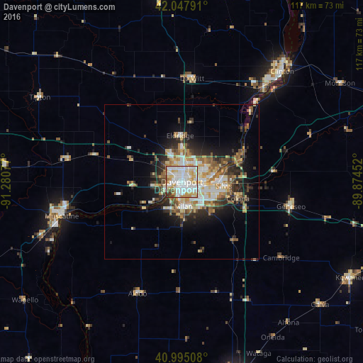


Analysis of Davenport night lights 2016
Square area 10x10 km:
 35.88%
90-99
30.61%80-89
13.78%70-79
9.69%60-69
4.25%50-59
2.04%40-49
1.7%30-39
2.04%20-29
0%10-19
0%0-9
0%Square area 50x50 km:
3.36%90-99
3.43%80-89
2.89%70-79
2.45%60-69
2.24%50-59
2.34%40-49
2.34%30-39
2.7%20-29
4.53%10-19
6.68%0-9
67.06%Clear (daylight) street map image can be seen on geolist.org.
Map coordinates:
42° 2' 52.5" North, 91° 16' 50.8" West
41° 31' 25.1" North, 90° 34' 39.5" West
40° 59' 42.3" North, 89° 52' 28.3" West
Some cities around Davenport sort by population:
• Moline
5.5 km =3.4 mi,  109°
109°
• Rock Island
1.6 km =1 mi,  183°
183°
• Bettendorf
5.2 km =3.2 mi,  88°
88°
• East Moline
11.4 km =7.1 mi,  102°
102°
• Silvis
13.6 km =8.5 mi, 95°
• Eldridge
15 km =9.3 mi,  357°
357°
• Colona
19.2 km =11.9 mi, 103°
• Milan
7.9 km =4.9 mi, 176°
4853423 (p: 102,582)
Sources (retrieved 2019-11-25):
» NASA, Earths city lights 1995
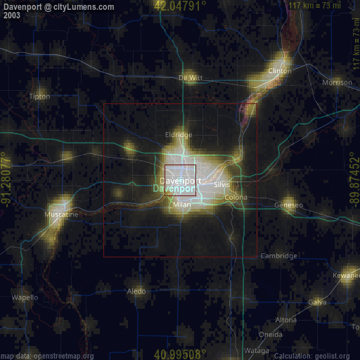
» NASA city lights 2003
» Earth at Night: Flat Maps 2012, 2016