Short Hills night lights from space
Night Light of Short Hills (New Jersey) from space (United States) Src. Average luminocity for 10x10km area is 81.0016% and for 50x50km: 76.2778%.
Analysis of Short Hills night lights 2016
Square area 10x10 km:
 15.42%
90-99
15.75%80-89
17.21%70-79
27.11%60-69
20.29%50-59
3.73%40-49
0.49%30-39
0%20-29
0%10-19
0%0-9
0%Square area 50x50 km:
28.33%90-99
18.1%80-89
8.97%70-79
11.05%60-69
8.94%50-59
6.46%40-49
4.79%30-39
3.91%20-29
4.53%10-19
4.13%0-9
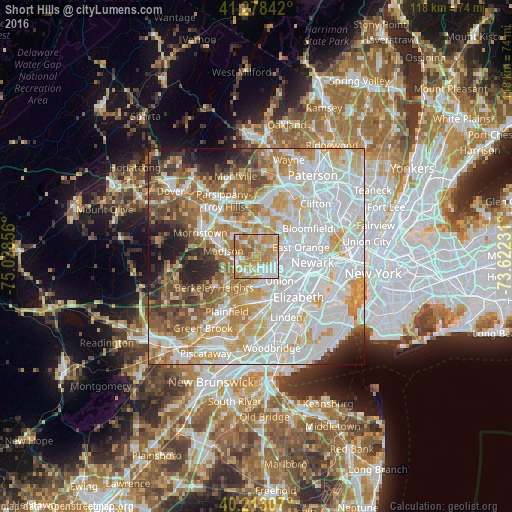
0.8%Clear (daylight) street map image can be seen on geolist.org.
Map coordinates:
41° 16' 42.3" North, 75° 1' 42.8" West
40° 44' 52.4" North, 74° 19' 31.5" West
40° 12' 47.1" North, 73° 37' 20.3" West
Some cities around Short Hills sort by population:
• Livingston
5.4 km =3.4 mi,  9°
9°
• Maplewood
4.8 km =3 mi,  112°
112°
• Summit
4.9 km =3 mi,  222°
222°
• South Orange
5.4 km =3.4 mi,  88°
88°
• Springfield
4.8 km =3 mi,  171°
171°
• Florham Park
6.9 km =4.3 mi,  310°
310°
• Chatham
5 km =3.1 mi,  261°
261°
• Northfield
2.9 km =1.8 mi,  1°
1°
5104630 (p: 13,165)
Sources (retrieved 2019-11-25):
» Earth at Night: Flat Maps 2012, 2016