Manassas night lights from space
Night Light of Manassas (Virginia) from space (United States) Src. Average luminocity for 10x10km area is 76.9048% and for 50x50km: 43.6214%.
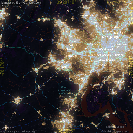
Analysis of Manassas night lights 2016
Square area 10x10 km:
 21.6%
21.6%90-99
23.98%80-89
8.33%70-79
7.99%60-69
9.18%50-59
11.22%40-49
10.54%30-39
4.76%20-29
2.38%10-19
0%0-9
0%Square area 50x50 km:
7.95%90-99
8.61%80-89
5.56%70-79
8.45%60-69
9.45%50-59
6.15%40-49
4.28%30-39
5.18%20-29
6.67%10-19
7.75%0-9
29.94%Clear (daylight) street map image can be seen on geolist.org.
Map coordinates:
39° 17' 49.9" North, 78° 10' 42.2" West
38° 45' 3.4" North, 77° 28' 31" West
38° 12' 1.8" North, 76° 46' 19.7" West
Some cities around Manassas sort by population:
• Centreville
10.7 km =6.6 mi,  22°
22°
• Linton Hall
8.7 km =5.4 mi,  276°
276°
• Buckhall
4.4 km =2.7 mi,  119°
119°
• Sudley
5 km =3.1 mi,  337°
337°
• Bull Run
5.4 km =3.4 mi,  312°
312°
• Gainesville
13 km =8.1 mi,  292°
292°
• West Gate
4 km =2.5 mi,  331°
331°
• Yorkshire
5.3 km =3.3 mi,  26°
26°
4771401 (p: 41,764)
Sources (retrieved 2019-11-25):
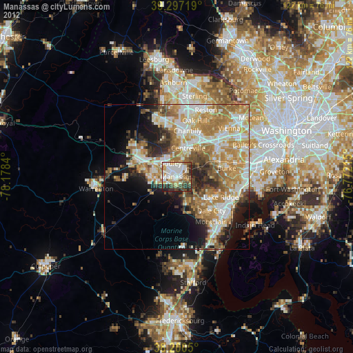
» Earth at Night: Flat Maps 2012, 2016