Centreville night lights from space
Night Light of Centreville (Virginia) from space (United States) Src. Average luminocity for 10x10km area is 78.9337% and for 50x50km: 55.3063%.
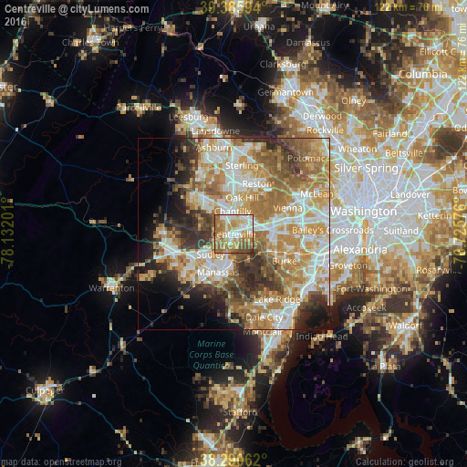
Analysis of Centreville night lights 2016
Square area 10x10 km:
 17.01%
90-99
19.39%80-89
12.41%70-79
16.16%60-69
22.11%50-59
7.31%40-49
4.93%30-39
0.68%20-29
0%10-19
0%0-9
0%Square area 50x50 km:
10.67%90-99
11.58%80-89
7.25%70-79
11.47%60-69
11.35%50-59
7.58%40-49
5.32%30-39
6.1%20-29
6.83%10-19
6.07%0-9
15.79%Clear (daylight) street map image can be seen on geolist.org.
Map coordinates:
39° 23' 9.4" North, 78° 7' 55.2" West
38° 50' 25.4" North, 77° 25' 44" West
38° 17' 26.2" North, 76° 43' 32.7" West
Some cities around Centreville sort by population:
• Oak Hill
9.8 km =6.1 mi,  13°
13°
• Chantilly
6 km =3.7 mi,  358°
358°
• Sudley
8 km =5 mi,  228°
228°
• Manassas Park
7.2 km =4.5 mi,  209°
209°
• Fairfax Station
10 km =6.2 mi,  116°
116°
• Greenbriar
4.4 km =2.7 mi,  33°
33°
• West Gate
8.7 km =5.4 mi,  222°
222°
• Yorkshire
5.5 km =3.4 mi,  197°
197°
4751839 (p: 71,135)
Sources (retrieved 2019-11-25):
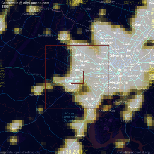
» NASA, Earths city lights 1995
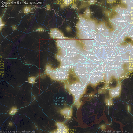
» NASA city lights 2003
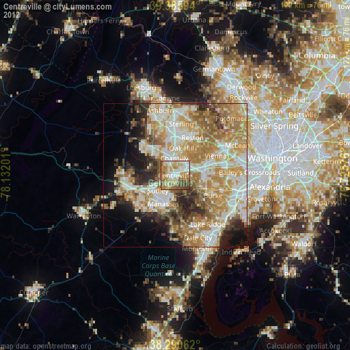
» Earth at Night: Flat Maps 2012, 2016