Linton Hall night lights from space
Night Light of Linton Hall (Virginia) from space (United States) Src. Average luminocity for 10x10km area is 69.1241% and for 50x50km: 33.9491%.
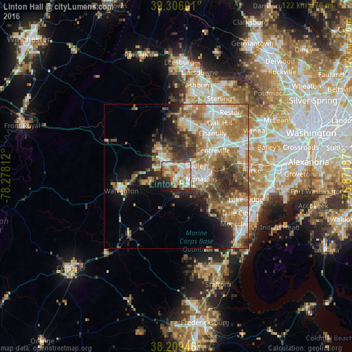
Analysis of Linton Hall night lights 2016
Square area 10x10 km:
 13.27%
90-99
20.75%80-89
12.76%70-79
10.03%60-69
12.24%50-59
5.95%40-49
2.89%30-39
5.27%20-29
10.54%10-19
6.29%0-9
0%Square area 50x50 km:
5.64%90-99
6.44%80-89
4.19%70-79
5.47%60-69
7.71%50-59
5.26%40-49
4.03%30-39
4.96%20-29
5.99%10-19
7.46%0-9
42.84%Clear (daylight) street map image can be seen on geolist.org.
Map coordinates:
39° 18' 21.6" North, 78° 16' 41.2" West
38° 45' 35.4" North, 77° 34' 30" West
38° 12' 34.1" North, 76° 52' 18.7" West
Some cities around Linton Hall sort by population:
• Manassas
8.7 km =5.4 mi,  96°
96°
• Buckhall
12.9 km =8 mi, 104°
• Sudley
7.7 km =4.8 mi,  61°
61°
• Manassas Park
9.5 km =5.9 mi,  73°
73°
• Bull Run
5.4 km =3.4 mi, 60°
• Gainesville
5.2 km =3.2 mi,  319°
319°
• West Gate
7.2 km =4.5 mi, 69°
• Yorkshire
11.6 km =7.2 mi, 71°
4769667 (p: 35,725)
Sources (retrieved 2019-11-25):
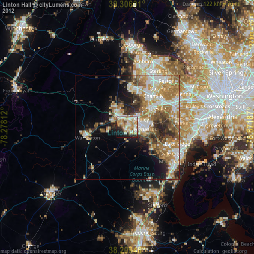
» Earth at Night: Flat Maps 2012, 2016