Madison night lights from space
Night Light of Madison (Alabama) from space (United States) Src. Average luminocity for 10x10km area is 81.2821% and for 50x50km: 38.2264%.
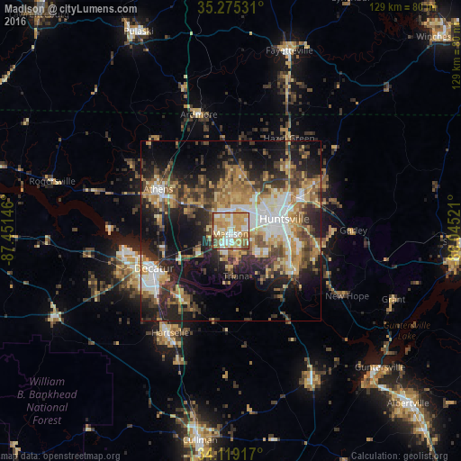
Analysis of Madison night lights 2016
Square area 10x10 km:
 16.48%
90-99
19.78%80-89
17.77%70-79
24.54%60-69
12.82%50-59
6.96%40-49
0.92%30-39
0.73%20-29
0%10-19
0%0-9
0%Square area 50x50 km:
5.42%90-99
5.38%80-89
5.78%70-79
6.76%60-69
6.24%50-59
5.66%40-49
5.96%30-39
6.75%20-29
10.27%10-19
15.68%0-9
26.08%Clear (daylight) street map image can be seen on geolist.org.
Map coordinates:
35° 16' 31.1" North, 87° 27' 5.3" West
34° 41' 57.3" North, 86° 44' 54" West
34° 7' 9" North, 86° 2' 42.8" West
Some cities around Madison sort by population:
• Huntsville
15.2 km =9.4 mi,  76°
76°
• Decatur
23.9 km =14.9 mi,  244°
244°
• Athens
23.4 km =14.5 mi,  299°
299°
• Hartselle
33.2 km =20.6 mi,  211°
211°
• Danville
44.3 km =27.5 mi,  224°
224°
• Meridianville
23.3 km =14.5 mi,  43°
43°
• Moores Mill
26.5 km =16.5 mi,  52°
52°
• Harvest
17.4 km =10.8 mi,  359°
359°
4074267 (p: 46,962)
Sources (retrieved 2019-11-25):
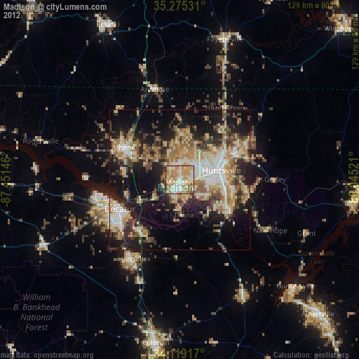
» Earth at Night: Flat Maps 2012, 2016