Decatur night lights from space
Night Light of Decatur (Alabama) from space (United States) Src. Average luminocity for 10x10km area is 67.3776% and for 50x50km: 24.3565%.
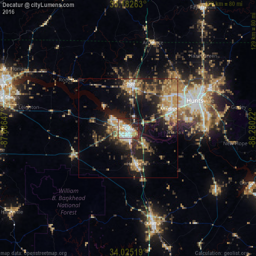
Analysis of Decatur night lights 2016
Square area 10x10 km:
 17.66%
90-99
19.06%80-89
11.01%70-79
10.66%60-69
5.24%50-59
3.5%40-49
2.62%30-39
6.12%20-29
19.41%10-19
4.72%0-9
0%Square area 50x50 km:
2.55%90-99
2.83%80-89
3.83%70-79
4.19%60-69
4.1%50-59
3.59%40-49
3.47%30-39
4.95%20-29
7.6%10-19
13.75%0-9
49.14%Clear (daylight) street map image can be seen on geolist.org.
Map coordinates:
35° 10' 57.5" North, 87° 41' 11.3" West
34° 36' 21.3" North, 86° 59' 0" West
34° 1' 30.7" North, 86° 16' 48.8" West
Some cities around Decatur sort by population:
• Huntsville
38.9 km =24.2 mi,  69°
69°
• Madison
23.9 km =14.9 mi,  64°
64°
• Athens
21.9 km =13.6 mi,  2°
2°
• Cullman
49.6 km =30.8 mi,  165°
165°
• Hartselle
18.6 km =11.6 mi, 166°
• Danville
23.3 km =14.5 mi,  204°
204°
• Meridianville
46.4 km =28.8 mi,  53°
53°
• Harvest
35 km =21.7 mi,  37°
37°
4058553 (p: 55,437)
Sources (retrieved 2019-11-25):
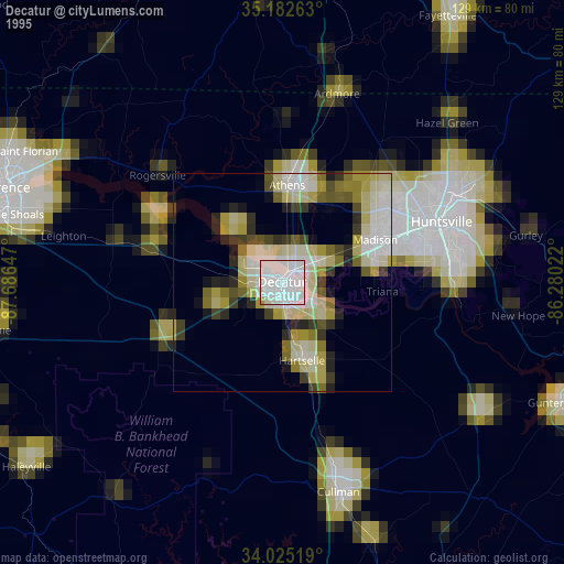
» NASA, Earths city lights 1995
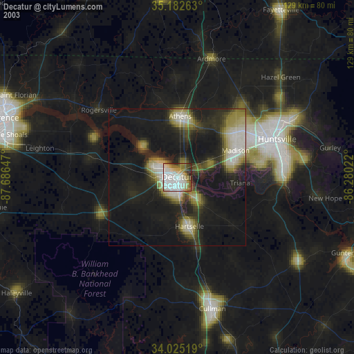
» NASA city lights 2003
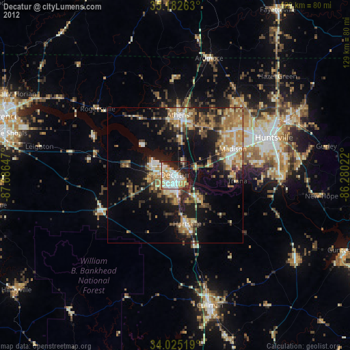
» Earth at Night: Flat Maps 2012, 2016