Madison night lights from space
Night Light of Madison (Wisconsin) from space (United States) Src. Average luminocity for 10x10km area is 64.519% and for 50x50km: 18.4832%.
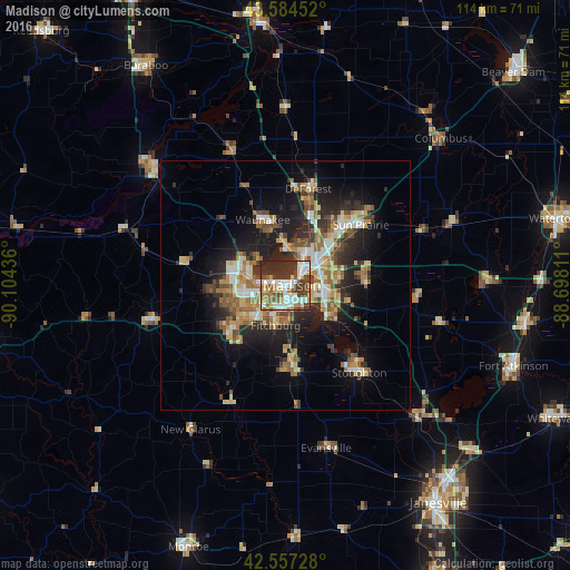
Analysis of Madison night lights 2016
Square area 10x10 km:
 16.67%
90-99
13.81%80-89
7.62%70-79
7.78%60-69
5.71%50-59
9.68%40-49
9.84%30-39
16.35%20-29
12.54%10-19
0%0-9
0%Square area 50x50 km:
2.37%90-99
2.45%80-89
2.68%70-79
2.55%60-69
2.8%50-59
3.26%40-49
2.51%30-39
2.78%20-29
5.81%10-19
9.97%0-9
62.81%Clear (daylight) street map image can be seen on geolist.org.
Map coordinates:
43° 35' 4.3" North, 90° 6' 15.7" West
43° 4' 23" North, 89° 24' 4.4" West
42° 33' 26.2" North, 88° 41' 53.2" West
Some cities around Madison sort by population:
• Fitchburg
13.7 km =8.5 mi,  204°
204°
• Middleton
8.8 km =5.5 mi,  287°
287°
• Waunakee
13.9 km =8.6 mi,  341°
341°
• Verona
14.1 km =8.8 mi,  229°
229°
• Oregon
16.4 km =10.2 mi,  175°
175°
• McFarland
11.3 km =7 mi,  126°
126°
• Monona
5.6 km =3.5 mi,  102°
102°
• Cottage Grove
16.4 km =10.2 mi,  88°
88°
5261457 (p: 248,951)
Sources (retrieved 2019-11-25):
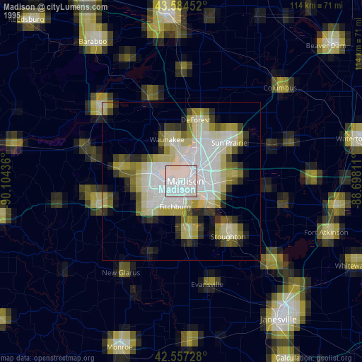
» NASA, Earths city lights 1995
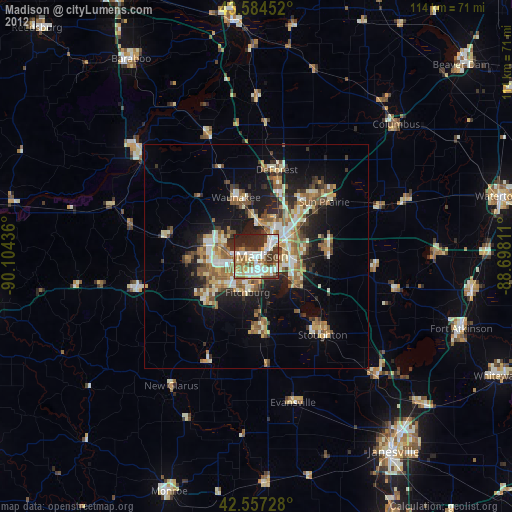
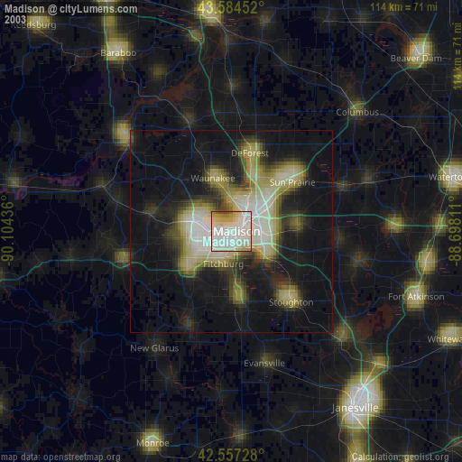
» NASA city lights 2003
» Earth at Night: Flat Maps 2012, 2016