Monona night lights from space
Night Light of Monona (Wisconsin) from space (United States) Src. Average luminocity for 10x10km area is 68.7889% and for 50x50km: 18.9202%.
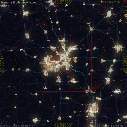
Analysis of Monona night lights 2016
Square area 10x10 km:
 13.49%
90-99
14.29%80-89
12.86%70-79
10.63%60-69
10.32%50-59
11.27%40-49
9.84%30-39
12.22%20-29
5.08%10-19
0%0-9
0%Square area 50x50 km:
2.37%90-99
2.5%80-89
2.73%70-79
2.64%60-69
2.93%50-59
3.39%40-49
2.66%30-39
2.81%20-29
5.87%10-19
9.99%0-9
62.1%Clear (daylight) street map image can be seen on geolist.org.
Map coordinates:
43° 34' 25.6" North, 90° 2' 13.7" West
43° 3' 44" North, 89° 20' 2.4" West
42° 32' 46.9" North, 88° 37' 51.2" West
Some cities around Monona sort by population:
• Madison
5.6 km =3.5 mi,  282°
282°
• Sun Prairie
16.7 km =10.4 mi,  35°
35°
• Fitchburg
15.8 km =9.8 mi,  224°
224°
• Middleton
14.4 km =8.9 mi,  285°
285°
• Waunakee
17.5 km =10.9 mi,  325°
325°
• Oregon
15.7 km =9.8 mi,  195°
195°
• McFarland
6.6 km =4.1 mi,  147°
147°
• Cottage Grove
11 km =6.8 mi,  81°
81°
5263323 (p: 8,164)
Sources (retrieved 2019-11-25):
» Earth at Night: Flat Maps 2012, 2016