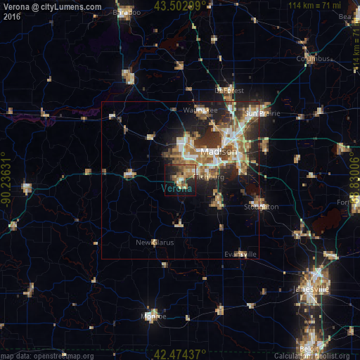
Verona night lights from space
Night Light of Verona (Wisconsin) from space (United States) Src. Average luminocity for 10x10km area is 33.8127% and for 50x50km: 17.1316%.
Analysis of Verona night lights 2016
Square area 10x10 km:
 1.59%
1.59%90-99
1.75%80-89
4.92%70-79
6.67%60-69
9.05%50-59
10.32%40-49
3.17%30-39
3.02%20-29
12.38%10-19
22.54%0-9
24.6%Square area 50x50 km:
2.32%90-99
2.42%80-89
2.56%70-79
2.47%60-69
2.51%50-59
3.07%40-49
2.64%30-39
2.47%20-29
5.35%10-19
7.34%0-9
66.84%Clear (daylight) street map image can be seen on geolist.org.
Map coordinates:
43° 30' 10.8" North, 90° 14' 10.7" West
42° 59' 27" North, 89° 31' 59.4" West
42° 28' 27.7" North, 88° 49' 48.2" West
Some cities around Verona sort by population:
• Madison
14.1 km =8.8 mi,  49°
49°
• Fitchburg
6.1 km =3.8 mi,  122°
122°
• Middleton
12.1 km =7.5 mi,  11°
11°
• Waunakee
23.2 km =14.4 mi,  15°
15°
• Oregon
14.1 km =8.8 mi, 120°
• McFarland
19.9 km =12.4 mi,  83°
83°
• Monona
18 km =11.2 mi,  63°
63°
• Mount Horeb
16.8 km =10.4 mi,  276°
276°
5277142 (p: 12,540)
Sources (retrieved 2019-11-25):
» Earth at Night: Flat Maps 2012, 2016