Fitchburg night lights from space
Night Light of Fitchburg (Wisconsin) from space (United States) Src. Average luminocity for 10x10km area is 21.2921% and for 50x50km: 16.9806%.
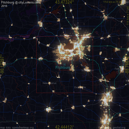
Analysis of Fitchburg night lights 2016
Square area 10x10 km:
 0.32%
0.32%90-99
0.79%80-89
3.33%70-79
1.59%60-69
4.92%50-59
3.17%40-49
3.65%30-39
1.27%20-29
15.56%10-19
26.67%0-9
38.73%Square area 50x50 km:
2.22%90-99
2.29%80-89
2.57%70-79
2.49%60-69
2.54%50-59
3.16%40-49
2.34%30-39
2.46%20-29
5.05%10-19
7.65%0-9
67.22%Clear (daylight) street map image can be seen on geolist.org.
Map coordinates:
43° 28' 23.7" North, 90° 10' 22.7" West
42° 57' 39" North, 89° 28' 11.4" West
42° 26' 38.8" North, 88° 46' 0.2" West
Some cities around Fitchburg sort by population:
• Madison
13.7 km =8.5 mi,  24°
24°
• Middleton
15.4 km =9.6 mi,  349°
349°
• Stoughton
21.1 km =13.1 mi,  103°
103°
• Verona
6.1 km =3.8 mi,  302°
302°
• Oregon
7.9 km =4.9 mi,  119°
119°
• McFarland
15.7 km =9.8 mi,  68°
68°
• Monona
15.8 km =9.8 mi,  44°
44°
• Mount Horeb
22.5 km =14 mi,  283°
283°
5253219 (p: 27,996)
Sources (retrieved 2019-11-25):
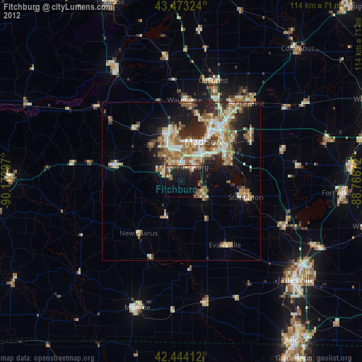
» Earth at Night: Flat Maps 2012, 2016