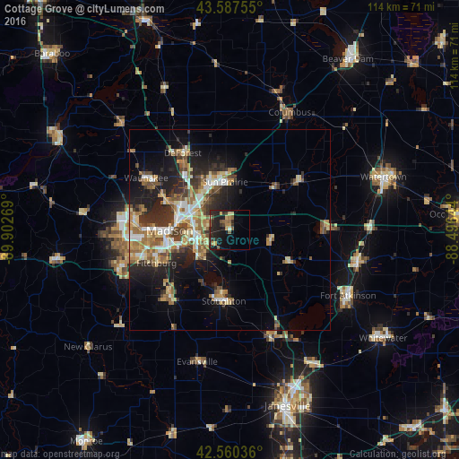
Cottage Grove night lights from space
Night Light of Cottage Grove (Wisconsin) from space (United States) Src. Average luminocity for 10x10km area is 18.5889% and for 50x50km: 16.7151%.
Analysis of Cottage Grove night lights 2016
Square area 10x10 km:
 0%
0%90-99
0.63%80-89
2.7%70-79
2.7%60-69
2.86%50-59
4.92%40-49
1.27%30-39
3.97%20-29
13.02%10-19
17.94%0-9
50%Square area 50x50 km:
2.08%90-99
2.23%80-89
2.49%70-79
2.31%60-69
2.53%50-59
2.85%40-49
2.32%30-39
2.66%20-29
5.18%10-19
8.54%0-9
66.82%Clear (daylight) street map image can be seen on geolist.org.
Map coordinates:
43° 35' 15.2" North, 89° 54' 9.7" West
43° 4' 34" North, 89° 11' 58.4" West
42° 33' 37.3" North, 88° 29' 47.2" West
Some cities around Cottage Grove sort by population:
• Madison
16.4 km =10.2 mi,  268°
268°
• Sun Prairie
12 km =7.5 mi,  354°
354°
• Stoughton
17.8 km =11.1 mi,  184°
184°
• Oregon
22.5 km =14 mi,  222°
222°
• De Forest
22.4 km =13.9 mi,  328°
328°
• McFarland
10.2 km =6.3 mi,  226°
226°
• Monona
11 km =6.8 mi,  261°
261°
• Lake Mills
23.4 km =14.5 mi,  88°
88°
5249503 (p: 6,854)
Sources (retrieved 2019-11-25):
» Earth at Night: Flat Maps 2012, 2016