Lowell night lights from space
Night Light of Lowell (Massachusetts) from space (United States) Src. Average luminocity for 10x10km area is 75.4136% and for 50x50km: 42.8928%.
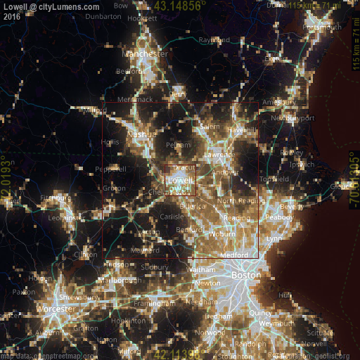
Analysis of Lowell night lights 2016
Square area 10x10 km:
 17.27%
90-99
19.55%80-89
6.36%70-79
13.64%60-69
17.12%50-59
15.15%40-49
6.36%30-39
4.39%20-29
0.15%10-19
0%0-9
0%Square area 50x50 km:
5.35%90-99
7.02%80-89
5.16%70-79
6.13%60-69
8.36%50-59
9.66%40-49
6.7%30-39
6.08%20-29
10.11%10-19
20.93%0-9
14.5%Clear (daylight) street map image can be seen on geolist.org.
Map coordinates:
43° 8' 54.8" North, 72° 1' 9.5" West
42° 38' 0.3" North, 71° 18' 58.2" West
42° 6' 50.3" North, 70° 36' 47" West
Some cities around Lowell sort by population:
• Billerica
9.2 km =5.7 mi,  155°
155°
• Chelmsford
5.6 km =3.5 mi,  228°
228°
• Tewksbury
7.2 km =4.5 mi,  110°
110°
• Dracut
4.3 km =2.7 mi,  15°
15°
• Westford
11.6 km =7.2 mi,  238°
238°
• Pelham
11.3 km =7 mi,  356°
356°
• Tyngsboro
10.1 km =6.3 mi,  298°
298°
• Pinehurst
13.6 km =8.5 mi,  148°
148°
4942618 (p: 110,699)
Sources (retrieved 2019-11-25):
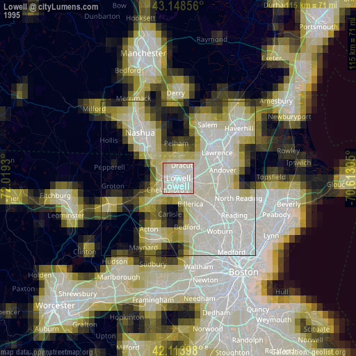
» NASA, Earths city lights 1995
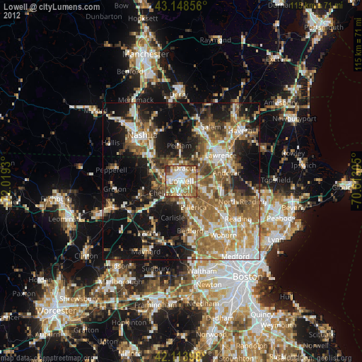
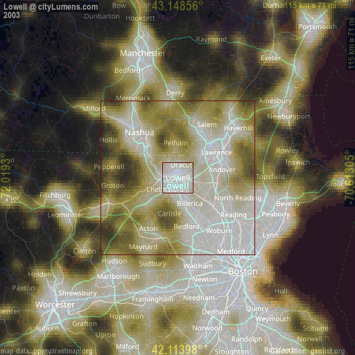
» NASA city lights 2003
» Earth at Night: Flat Maps 2012, 2016