Billerica night lights from space
Night Light of Billerica (Massachusetts) from space (United States) Src. Average luminocity for 10x10km area is 62.1048% and for 50x50km: 50.9342%.
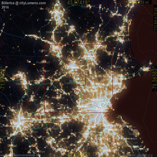
Analysis of Billerica night lights 2016
Square area 10x10 km:
 6.51%
6.51%90-99
6.03%80-89
8.25%70-79
7.14%60-69
21.59%50-59
32.22%40-49
7.46%30-39
1.75%20-29
7.3%10-19
1.75%0-9
0%Square area 50x50 km:
10.42%90-99
9.46%80-89
6%70-79
6.81%60-69
8.75%50-59
9.6%40-49
6.95%30-39
6.12%20-29
9.24%10-19
16.91%0-9
9.74%Clear (daylight) street map image can be seen on geolist.org.
Map coordinates:
43° 4' 27.1" North, 71° 58' 19.5" West
42° 33' 30.3" North, 71° 16' 8.2" West
42° 2' 18.1" North, 70° 33' 57" West
Some cities around Billerica sort by population:
• Lowell
9.2 km =5.7 mi,  335°
335°
• Chelmsford
9.3 km =5.8 mi,  299°
299°
• Tewksbury
6.5 km =4 mi,  26°
26°
• Burlington
8.5 km =5.3 mi,  134°
134°
• Wilmington
7.9 km =4.9 mi,  99°
99°
• Concord
12.7 km =7.9 mi,  211°
211°
• Bedford
7.6 km =4.7 mi,  184°
184°
• Pinehurst
4.7 km =2.9 mi, 134°
4930577 (p: 39,904)
Sources (retrieved 2019-11-25):
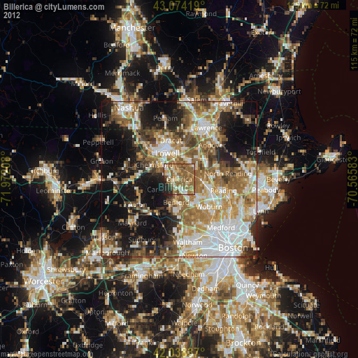
» Earth at Night: Flat Maps 2012, 2016