Livingston night lights from space
Night Light of Livingston (Texas) from space (United States) Src. Average luminocity for 10x10km area is 39.4685% and for 50x50km: 7.0008%.
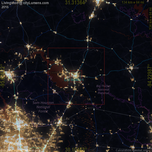
Analysis of Livingston night lights 2016
Square area 10x10 km:
 2.1%
2.1%90-99
4.2%80-89
8.04%70-79
5.94%60-69
6.64%50-59
6.82%40-49
5.42%30-39
8.39%20-29
15.03%10-19
33.92%0-9
3.5%Square area 50x50 km:
0.17%90-99
0.25%80-89
1.34%70-79
0.79%60-69
0.83%50-59
1.18%40-49
1.59%30-39
2.04%20-29
2.09%10-19
5.92%0-9
83.8%Clear (daylight) street map image can be seen on geolist.org.
Map coordinates:
31° 18' 49.1" North, 95° 38' 10" West
30° 42' 39.7" North, 94° 55' 58.8" West
30° 6' 16.7" North, 94° 13' 47.5" West
Some cities around Livingston sort by population:
• Conroe
66.9 km =41.6 mi,  228°
228°
• Huntsville
59.1 km =36.7 mi,  271°
271°
• Lufkin
72.4 km =45 mi,  15°
15°
• Liberty
73.8 km =45.9 mi,  169°
169°
• West Livingston
6.7 km =4.2 mi,  257°
257°
• Cleveland
43.6 km =27.1 mi,  199°
199°
• Willis
61.3 km =38.1 mi,  238°
238°
• Diboll
54.9 km =34.1 mi, 15°
4707173 (p: 5,172)
Sources (retrieved 2019-11-25):
» Earth at Night: Flat Maps 2012, 2016