Lincoln City night lights from space
Night Light of Lincoln City (Oregon) from space (United States) Src. Average luminocity for 10x10km area is 12.5746% and for 50x50km: 0.5709%.
Analysis of Lincoln City night lights 2016
Square area 10x10 km:
 0.48%
0.48%90-99
0.79%80-89
1.43%70-79
3.33%60-69
1.59%50-59
3.65%40-49
3.33%30-39
0%20-29
0.95%10-19
1.43%0-9
83.02%Square area 50x50 km:
0.02%90-99
0.03%80-89
0.07%70-79
0.14%60-69
0.08%50-59
0.14%40-49
0.13%30-39
0.02%20-29
0.07%10-19
0.08%0-9
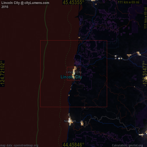
99.22%Clear (daylight) street map image can be seen on geolist.org.
Map coordinates:
45° 27' 12.8" North, 124° 43' 15.7" West
44° 57' 29.4" North, 124° 1' 4.4" West
44° 27' 30.5" North, 123° 18' 53.2" West
Some cities around Lincoln City sort by population:
• Salem
77.4 km =48.1 mi,  91°
91°
• Corvallis
74 km =46 mi,  126°
126°
• McMinnville
70.1 km =43.6 mi,  66°
66°
• Dallas
55.3 km =34.4 mi, 94°
• Newport
35.8 km =22.2 mi,  184°
184°
• Monmouth
62.9 km =39.1 mi,  101°
101°
• Independence
66.5 km =41.3 mi, 100°
• Sheridan
51.4 km =31.9 mi, 72°
5736645 (p: 8,536)
Sources (retrieved 2019-11-25):
» Earth at Night: Flat Maps 2012, 2016