Lihue night lights from space
Night Light of Lihue (Hawaii) from space (United States) Src. Average luminocity for 10x10km area is 15.4167% and for 50x50km: 1.1203%.
Analysis of Lihue night lights 2016
Square area 10x10 km:
 0.4%
0.4%90-99
0.6%80-89
0.6%70-79
1.19%60-69
6.75%50-59
3.57%40-49
5.56%30-39
1.19%20-29
1.98%10-19
3.57%0-9
74.6%Square area 50x50 km:
0.02%90-99
0.02%80-89
0.02%70-79
0.05%60-69
0.47%50-59
0.28%40-49
0.42%30-39
0.19%20-29
0.28%10-19
0.2%0-9
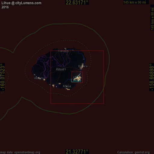
98.05%Clear (daylight) street map image can be seen on geolist.org.
Map coordinates:
22° 37' 54.2" North, 160° 4' 30.8" West
21° 58' 52.4" North, 159° 22' 19.6" West
21° 19' 39.8" North, 158° 40' 8.3" West
Some cities around Lihue sort by population:
• Wahiawā
149 km =92.6 mi,  110°
110°
• Schofield Barracks
145.3 km =90.3 mi, 111°
• Waianae
136.7 km =84.9 mi,  116°
116°
• Nānākuli
141.8 km =88.1 mi, 117°
• Kapa‘a
11.8 km =7.3 mi,  27°
27°
• Mā‘ili
138.7 km =86.2 mi, 116°
• Mākaha
133 km =82.6 mi, 115°
• Wailua Homesteads
10.2 km =6.3 mi,  357°
357°
5850248 (p: 6,455)
Sources (retrieved 2019-11-25):
» Earth at Night: Flat Maps 2012, 2016