Mā‘ili night lights from space
Night Light of Mā‘ili (Hawaii) from space (United States) Src. Average luminocity for 10x10km area is 25.1534% and for 50x50km: 11.6259%.
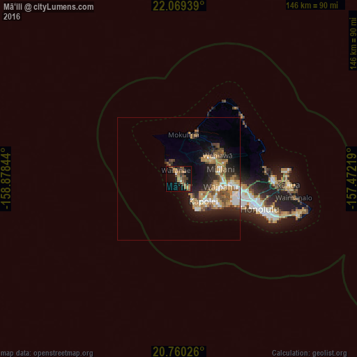
Analysis of Mā‘ili night lights 2016
Square area 10x10 km:
 0.19%
0.19%90-99
1.33%80-89
0%70-79
4.36%60-69
10.42%50-59
6.06%40-49
6.63%30-39
6.25%20-29
1.7%10-19
23.11%0-9
39.96%Square area 50x50 km:
1.4%90-99
1.39%80-89
0.85%70-79
2.25%60-69
3.08%50-59
1.65%40-49
1.82%30-39
1.25%20-29
3.32%10-19
6.69%0-9
76.29%Clear (daylight) street map image can be seen on geolist.org.
Map coordinates:
22° 4' 9.8" North, 158° 52' 42.4" West
21° 24' 58.6" North, 158° 10' 31.1" West
20° 45' 36.9" North, 157° 28' 19.9" West
Some cities around Mā‘ili sort by population:
• Makakilo
11.6 km =7.2 mi,  127°
127°
• Schofield Barracks
14.6 km =9.1 mi,  51°
51°
• Makakilo City
12.1 km =7.5 mi, 129°
• Kapolei
15.1 km =9.4 mi, 126°
• Waianae
2.6 km =1.6 mi,  336°
336°
• Nānākuli
3.3 km =2.1 mi,  139°
139°
• Village Park
15.1 km =9.4 mi,  97°
97°
• Mākaha
6.6 km =4.1 mi,  326°
326°
5850492 (p: 9,488)
Sources (retrieved 2019-11-25):
» Earth at Night: Flat Maps 2012, 2016