Kapa‘a night lights from space
Night Light of Kapa‘a (Hawaii) from space (United States) Src. Average luminocity for 10x10km area is 4.6151% and for 50x50km: 1.0602%.
Analysis of Kapa‘a night lights 2016
Square area 10x10 km:
 0%
0%90-99
0%80-89
0%70-79
0%60-69
1.39%50-59
1.19%40-49
3.77%30-39
1.39%20-29
1.19%10-19
0.6%0-9
90.48%Square area 50x50 km:
0.02%90-99
0.02%80-89
0.02%70-79
0.05%60-69
0.4%50-59
0.28%40-49
0.41%30-39
0.2%20-29
0.28%10-19
0.2%0-9
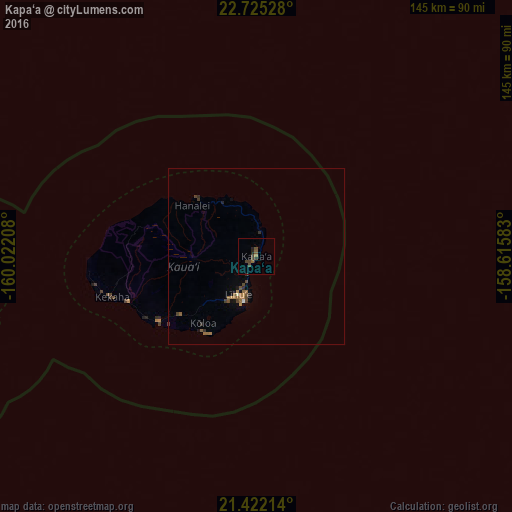
98.13%Clear (daylight) street map image can be seen on geolist.org.
Map coordinates:
22° 43' 31" North, 160° 1' 19.5" West
22° 4' 30.8" North, 159° 19' 8.2" West
21° 25' 19.7" North, 158° 36' 57" West
Some cities around Kapa‘a sort by population:
• Wahiawā
148 km =92 mi,  115°
115°
• Schofield Barracks
144.5 km =89.8 mi, 116°
• Waianae
136.8 km =85 mi, 121°
• Nānākuli
142.2 km =88.4 mi, 122°
• Mā‘ili
139 km =86.4 mi, 121°
• Mākaha
133 km =82.6 mi, 120°
• Lihue
11.8 km =7.3 mi,  207°
207°
• Wailua Homesteads
6 km =3.7 mi,  267°
267°
5848280 (p: 10,699)
Sources (retrieved 2019-11-25):
» Earth at Night: Flat Maps 2012, 2016