Leominster night lights from space
Night Light of Leominster (Massachusetts) from space (United States) Src. Average luminocity for 10x10km area is 45.3762% and for 50x50km: 18.1343%.
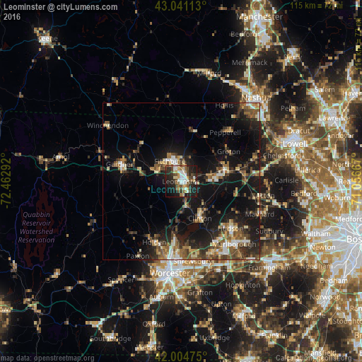
Analysis of Leominster night lights 2016
Square area 10x10 km:
 8.1%
8.1%90-99
7.3%80-89
5.08%70-79
6.83%60-69
4.29%50-59
6.19%40-49
8.73%30-39
6.51%20-29
20.79%10-19
21.43%0-9
4.76%Square area 50x50 km:
1.63%90-99
2.4%80-89
1.92%70-79
1.98%60-69
2.46%50-59
3.59%40-49
3.24%30-39
3.09%20-29
6.23%10-19
16.32%0-9
57.14%Clear (daylight) street map image can be seen on geolist.org.
Map coordinates:
43° 2' 28.1" North, 72° 27' 46.5" West
42° 31' 30.3" North, 71° 45' 35.2" West
42° 0' 17.1" North, 71° 3' 24" West
Some cities around Leominster sort by population:
• Fitchburg
7.4 km =4.6 mi,  331°
331°
• West Boylston
17.7 km =11 mi,  186°
186°
• Lancaster
10.5 km =6.5 mi,  137°
137°
• Clinton
13.6 km =8.5 mi,  152°
152°
• Sterling
9.7 km =6 mi,  180°
180°
• Westminster
12.6 km =7.8 mi,  280°
280°
• Harvard
14.8 km =9.2 mi,  100°
100°
• Ashburnham
17.3 km =10.7 mi,  315°
315°
4941873 (p: 41,569)
Sources (retrieved 2019-11-25):
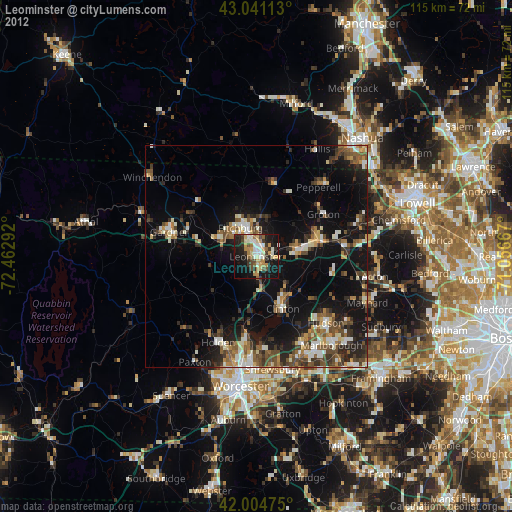
» Earth at Night: Flat Maps 2012, 2016