Fitchburg night lights from space
Night Light of Fitchburg (Massachusetts) from space (United States) Src. Average luminocity for 10x10km area is 42.3045% and for 50x50km: 12.3288%.
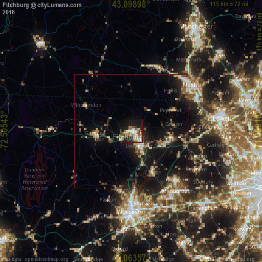
Analysis of Fitchburg night lights 2016
Square area 10x10 km:
 6.97%
6.97%90-99
6.21%80-89
6.52%70-79
5.76%60-69
6.52%50-59
6.97%40-49
6.67%30-39
4.55%20-29
9.09%10-19
27.27%0-9
13.48%Square area 50x50 km:
0.99%90-99
1.41%80-89
1.36%70-79
1.32%60-69
1.51%50-59
2.29%40-49
1.89%30-39
1.76%20-29
4.22%10-19
13.34%0-9
69.92%Clear (daylight) street map image can be seen on geolist.org.
Map coordinates:
43° 5' 56.3" North, 72° 30' 19.5" West
42° 35' 0.3" North, 71° 48' 8.3" West
42° 3' 48.9" North, 71° 5' 57" West
Some cities around Fitchburg sort by population:
• Leominster
7.4 km =4.6 mi,  151°
151°
• Gardner
16.1 km =10 mi,  266°
266°
• Lancaster
17.7 km =11 mi,  143°
143°
• Sterling
16.6 km =10.3 mi,  168°
168°
• Westminster
9.8 km =6.1 mi,  244°
244°
• Harvard
20.2 km =12.6 mi,  117°
117°
• Ashburnham
10.4 km =6.5 mi,  304°
304°
• New Ipswich
18.8 km =11.7 mi,  346°
346°
4936812 (p: 40,545)
Sources (retrieved 2019-11-25):
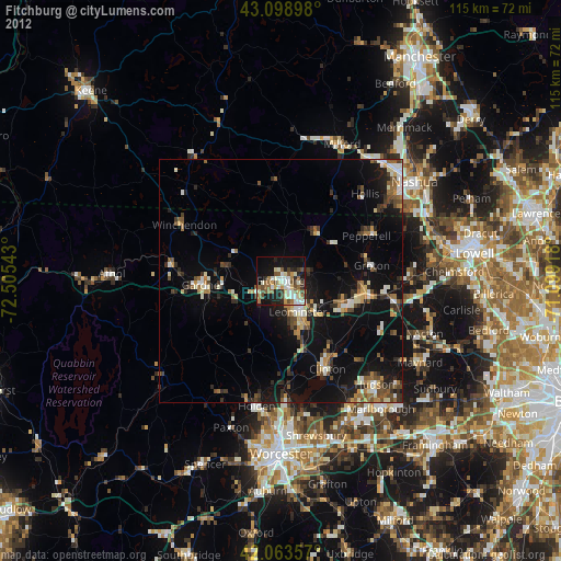
» Earth at Night: Flat Maps 2012, 2016