Lehi night lights from space
Night Light of Lehi (Utah) from space (United States) Src. Average luminocity for 10x10km area is 61.0306% and for 50x50km: 27.4864%.
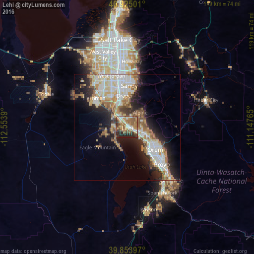
Analysis of Lehi night lights 2016
Square area 10x10 km:
 8.84%
8.84%90-99
8.16%80-89
8.16%70-79
13.78%60-69
11.9%50-59
18.71%40-49
6.46%30-39
6.63%20-29
16.16%10-19
1.19%0-9
0%Square area 50x50 km:
5.69%90-99
6.09%80-89
4.05%70-79
3.28%60-69
3.63%50-59
3.77%40-49
2.47%30-39
2.85%20-29
6.67%10-19
9.15%0-9
52.34%Clear (daylight) street map image can be seen on geolist.org.
Map coordinates:
40° 55' 30" North, 112° 33' 14" West
40° 23' 29.8" North, 111° 51' 2.8" West
39° 51' 14.3" North, 111° 8' 51.5" West
Some cities around Lehi sort by population:
• Pleasant Grove
10 km =6.2 mi,  107°
107°
• American Fork
4.9 km =3 mi, 109°
• Saratoga Springs
6.6 km =4.1 mi,  224°
224°
• Highland
6.1 km =3.8 mi,  51°
51°
• Bluffdale
13.2 km =8.2 mi,  325°
325°
• Lindon
12.3 km =7.6 mi,  116°
116°
• Cedar Hills
8.2 km =5.1 mi,  72°
72°
• Alpine
9.2 km =5.7 mi,  41°
41°
5777224 (p: 58,486)
Sources (retrieved 2019-11-25):
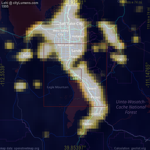
» NASA, Earths city lights 1995
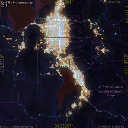
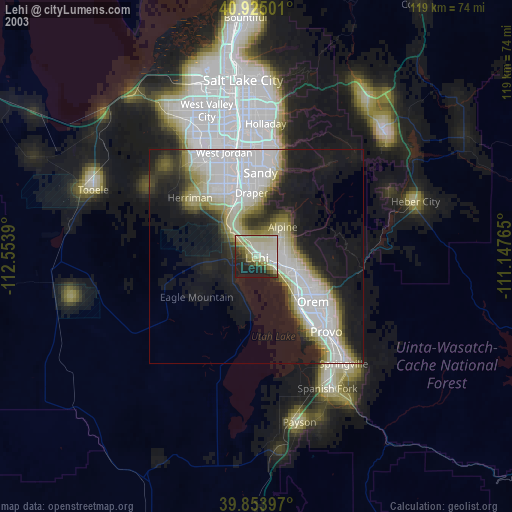
» NASA city lights 2003
» Earth at Night: Flat Maps 2012, 2016