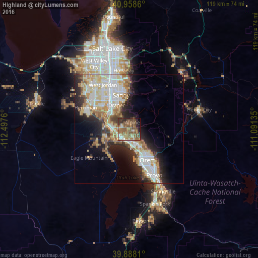
Highland night lights from space
Night Light of Highland (Utah) from space (United States) Src. Average luminocity for 10x10km area is 56.3656% and for 50x50km: 29.2428%.
Analysis of Highland night lights 2016
Square area 10x10 km:
 5.27%
5.27%90-99
5.95%80-89
3.23%70-79
7.31%60-69
16.16%50-59
28.74%40-49
12.24%30-39
6.97%20-29
8.67%10-19
4.59%0-9
0.85%Square area 50x50 km:
6.38%90-99
6.79%80-89
4.66%70-79
3.52%60-69
3.62%50-59
3.74%40-49
2.32%30-39
2.88%20-29
6.46%10-19
8.18%0-9
51.43%Clear (daylight) street map image can be seen on geolist.org.
Map coordinates:
40° 57' 31" North, 112° 29' 51.4" West
40° 25' 31.7" North, 111° 47' 40.1" West
39° 53' 17.2" North, 111° 5' 28.9" West
Some cities around Highland sort by population:
• Lehi
6.1 km =3.8 mi,  231°
231°
• Draper
12.5 km =7.8 mi,  331°
331°
• Pleasant Grove
8.3 km =5.2 mi,  145°
145°
• American Fork
5.4 km =3.4 mi,  181°
181°
• Saratoga Springs
12.6 km =7.8 mi, 227°
• Lindon
11.1 km =6.9 mi, 145°
• Cedar Hills
3.3 km =2.1 mi,  112°
112°
• Alpine
3.4 km =2.1 mi,  24°
24°
5775863 (p: 17,989)
Sources (retrieved 2019-11-25):
» Earth at Night: Flat Maps 2012, 2016