Lebanon night lights from space
Night Light of Lebanon (New Hampshire) from space (United States) Src. Average luminocity for 10x10km area is 16.7894% and for 50x50km: 1.5478%.
Analysis of Lebanon night lights 2016
Square area 10x10 km:
 0.15%
0.15%90-99
1.52%80-89
3.48%70-79
2.12%60-69
1.52%50-59
3.33%40-49
2.12%30-39
3.48%20-29
3.33%10-19
20.91%0-9
58.03%Square area 50x50 km:
0.08%90-99
0.12%80-89
0.28%70-79
0.15%60-69
0.14%50-59
0.35%40-49
0.23%30-39
0.29%20-29
0.36%10-19
1.17%0-9
96.83%Clear (daylight) street map image can be seen on geolist.org.
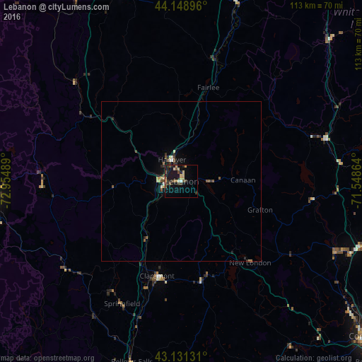
Map coordinates:
44° 8' 56.3" North, 72° 57' 17.6" West
43° 38' 32.2" North, 72° 15' 6.3" West
43° 7' 52.7" North, 71° 32' 55.1" West
Some cities around Lebanon sort by population:
• Laconia
64.2 km =39.9 mi,  101°
101°
• Rutland
58.1 km =36.1 mi,  266°
266°
• Claremont
30.5 km =19 mi,  194°
194°
• Hartford
7.3 km =4.5 mi,  286°
286°
• Hanover
7.3 km =4.5 mi,  335°
335°
• Franklin
53.5 km =33.2 mi,  114°
114°
• Rockingham
54.1 km =33.6 mi,  200°
200°
• Northfield
58 km =36 mi, 113°
5088597 (p: 13,579)
Sources (retrieved 2019-11-25):
» Earth at Night: Flat Maps 2012, 2016